



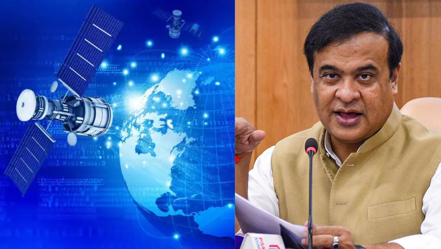
AssamSAT Project Nears Partner Selection

AssamSAT Project has entered the final stage of selecting a private-sector partner for Assam’s proposed Earth observation satellite system. The project is planned as a state-level satellite initiative and is designed to provide useful information for flood monitoring, agriculture, disaster management and border-related activities.
Thank you for reading this post, don't forget to subscribe!The Assam government is developing the project under the DBLOTT framework, which means Design, Build, Launch, Operate, Train and Transfer. Under this model, a private partner would have an important role in developing and operating the satellite system before the technology and capabilities are eventually transferred.
Assam Moves Towards Its Own Earth Observation System
The proposed AssamSAT Project is planned as the first state-level Earth observation satellite system of its kind in India. Earth observation satellites use remote sensing technology to collect information about the Earth’s surface.
For Assam, such a system could be particularly useful because the state regularly faces floods, riverbank erosion and other natural hazards. Satellite-based information can help authorities monitor changing river courses, flooded areas, agricultural land and other vulnerable locations.
The proposed system could also support agriculture by providing information about crops, land use and vegetation. Such data can help authorities understand changes on the ground and improve planning.
Five-Satellite Constellation Planned
According to the tender documents, the project is expected to involve a constellation of at least five Low Earth Orbit (LEO) satellites.
LEO satellites operate relatively close to Earth, generally at an altitude below 2,000 kilometres. Their comparatively low distance from the Earth’s surface makes them useful for Earth observation and remote sensing applications.
The satellites proposed under AssamSAT are expected to carry Synthetic Aperture Radar (SAR) payloads. SAR technology is particularly useful for Assam because it can collect images even when there are clouds, rain or darkness.
This feature can be valuable during the monsoon season when conventional optical satellite images may be affected by heavy cloud cover.
SAR Technology for Flood Monitoring
One of the important features of the AssamSAT Project is the proposed use of SAR technology. Unlike ordinary optical cameras, SAR sensors use radar signals to observe the Earth’s surface.
This means the system can continue collecting useful information during cloudy weather and at night. Such capability is important during floods when rapid information may be needed for emergency planning.
Satellite data could help authorities identify areas affected by floodwater and monitor changes in rivers and wetlands. It could also support mapping of agricultural areas and damage caused by extreme weather events.
AssamSAT and Border Monitoring
The proposed satellite system is also expected to have applications related to border security. Assam shares international borders and has several areas where regular monitoring of terrain and infrastructure can be useful.
Earth observation data can provide authorities with updated information about land and infrastructure. However, the exact operational details of any security-related use would depend on government requirements and the final satellite system.
The broader aim is to create a reliable source of geospatial information that can support multiple government departments.
ASTEC Leads the Initial Process
The Assam Science Technology and Environment Council (ASTEC) issued the initial Expression of Interest for the project. An Expression of Interest is generally used by government agencies to identify companies or organisations that may be capable of carrying out a proposed project.
The AssamSAT EoI was published on 16 March 2026, while the submission window closed on 28 May 2026. The selection process has now moved towards its final stage, with Assam working to identify a suitable private-sector partner.
The project was initially announced during the presentation of the Assam state budget for 2025–26, showing the state’s growing focus on using space technology for public services and development planning.
Role of ISRO and IN-SPACe
The AssamSAT Project has also been linked with institutional support from the Indian Space Research Organisation (ISRO) and the Indian National Space Promotion and Authorisation Centre (IN-SPACe).
India has been expanding private participation in the space sector in recent years. IN-SPACe was established to promote and regulate the participation of non-government entities in India’s space activities.
The involvement of private companies in projects such as AssamSAT reflects the changing nature of India’s space sector, where government agencies, state governments and private firms are increasingly working together.

DBLOTT Model for AssamSAT
The DBLOTT model is an important part of the proposed project. It stands for Design, Build, Launch, Operate, Train and Transfer.
Under this arrangement, the selected private partner would be involved in different stages of the satellite system. This could include designing and building the satellites, arranging their launch, operating the system and training personnel.
The eventual transfer of knowledge and capabilities is intended to help Assam develop greater technical capacity in managing and using satellite-based information.
Why Assam Needs Advanced Satellite Monitoring
Assam’s geography makes timely environmental information particularly important. The Brahmaputra and its tributaries regularly experience changes in water levels and river channels, while large areas of the state can be affected by seasonal flooding.
Satellite observation can provide a broader view of these changes than ground-based monitoring alone. Combining satellite information with data from local authorities can improve disaster response, agricultural planning and environmental management.
The proposed AssamSAT system could therefore become an important part of Assam’s use of modern space and digital technologies.
Project Enters an Important Stage
With the partner-selection process nearing its final stage, the AssamSAT Project is moving from planning towards implementation. The selection of the private-sector partner will be an important step in determining how the satellite constellation is designed, launched and operated.
If developed as planned, the system could give Assam dedicated access to Earth observation data for flood monitoring, agriculture, environmental management and other state-level applications. The project also reflects the wider growth of India’s space ecosystem and the increasing use of satellite technology by state governments.