

Sentinel-3C Satellite Sends First Earth Images

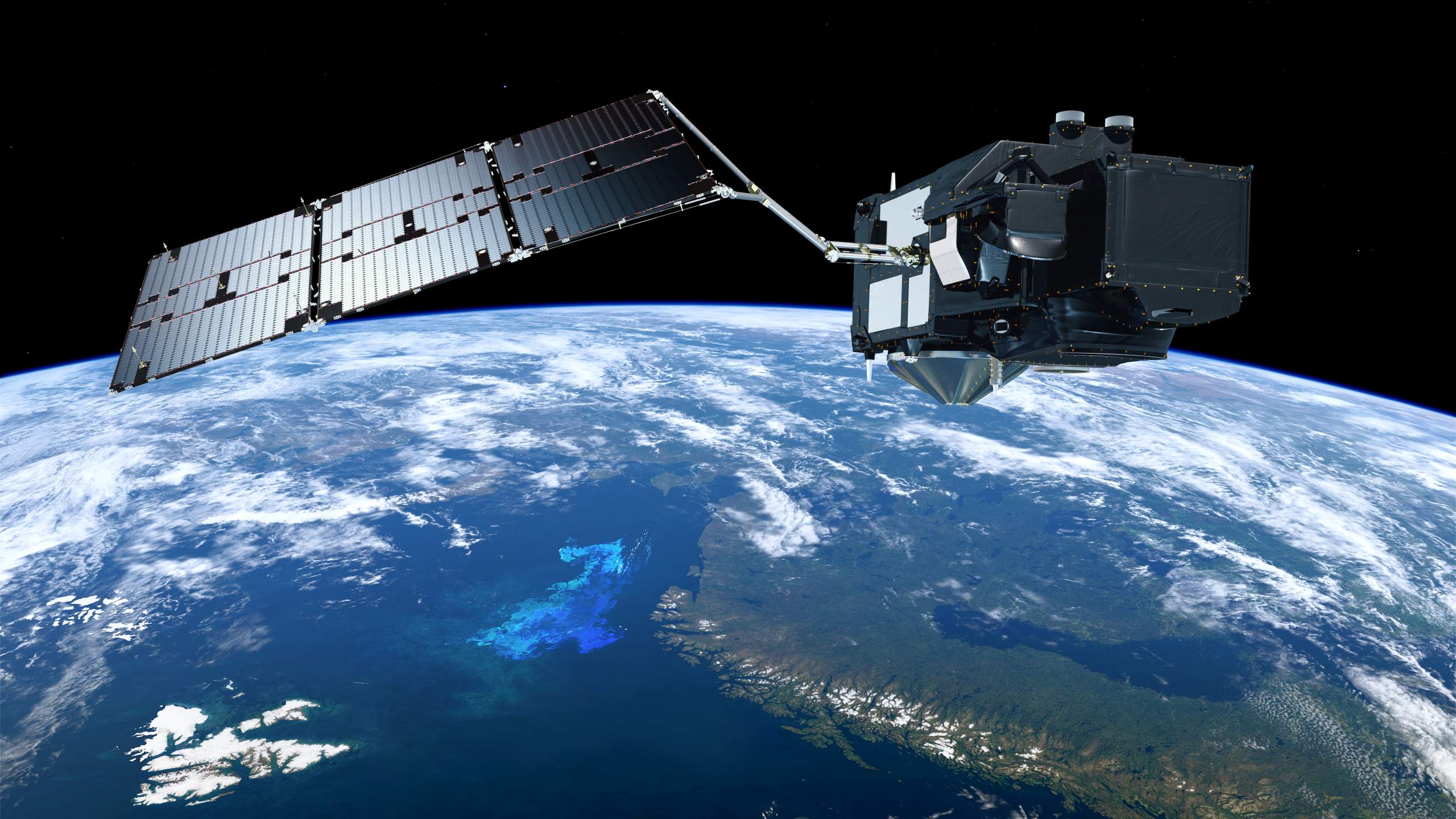
Sentinel-3C Satellite, part of Europe’s Copernicus Earth observation programme, has returned its first images and measurements of Earth following its launch on 15 September 2026. The satellite was launched aboard a Vega-C rocket from Europe’s Spaceport in Kourou, French Guiana. In late September, about two weeks after launch, its instruments began sending back images and scientific measurements.
The first results show that the satellite’s instruments are beginning to collect information about oceans, land and ice. These observations will help scientists monitor environmental conditions, study long-term changes on Earth and improve understanding of the planet’s natural systems.

Sentinel-3C is the third spacecraft in the Sentinel-3 series. It is designed to provide regular observations of the oceans, land, atmosphere and cryosphere. The mission is important because reliable satellite data can help scientists and organisations track changes that are difficult to measure using ground-based observations alone.
Ocean and Land Colour Instrument Captures Earth
One of the satellite’s main instruments is the Ocean and Land Colour Instrument (OLCI). It captures information about the colour of oceans and land surfaces, allowing scientists to study different environmental conditions.
The OLCI instrument captured its first images of Italy, the Canadian Arctic Archipelago and parts of the Caribbean, including Cuba and the Bahamas. These images were acquired on 29 and 30 September 2026.
Ocean colour observations can help scientists study the amount and distribution of material in seawater, including phytoplankton, which are tiny organisms that form an important part of marine food chains. Changes in ocean colour may also provide information about water quality and certain types of marine pollution.
On land, satellite images can help researchers observe vegetation, surface conditions and changes in ecosystems. Repeated observations make it easier to compare locations over time and identify environmental changes.
The first OLCI images are an early step in checking the satellite’s performance before it begins its full operational work.
Radar Altimeter Measures Ocean Height and Greenland Ice
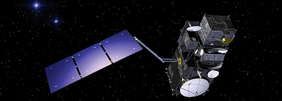
Sentinel-3C also carries a synthetic aperture radar altimeter. This instrument uses radar signals to measure the height of the Earth’s surface, including the height of the ocean surface and the elevation of ice sheets.
The radar altimeter began collecting measurements of ocean-surface height and the elevation of the Greenland Ice Sheet. Its initial Greenland observations were recorded between 30 September and 4 October 2026.
Ocean-height measurements are useful for studying sea-level changes and ocean circulation. Scientists can use repeated satellite measurements to understand how sea levels vary over time and how these changes may affect coastal areas.
The Greenland Ice Sheet is a large body of ice covering much of Greenland. Monitoring its elevation helps scientists study changes in ice volume and the effects of a warming climate. Ice loss from Greenland is an important factor in global sea-level rise.
Radar altimeters are especially valuable because they can measure surface height over large areas, including remote regions where regular ground measurements are difficult.
What Is the Copernicus Programme?
Copernicus is the European Union’s Earth observation programme. It uses satellites and other sources of information to monitor the planet and provide data for environmental research, public services and decision-making.
The programme collects information about land, oceans, the atmosphere, climate and emergency situations. Its data are used by scientists, public authorities and other organisations to understand environmental changes and support planning.
The Sentinel satellite family forms an important part of Copernicus. Different Sentinel missions carry instruments designed for particular observation tasks. The Sentinel-3 series focuses on systematic measurements of oceans, land and ice.
Sentinel-3C will add another spacecraft to this system. Once fully operational, its observations will contribute to the wider collection of information used to monitor the Earth’s environment.
How Sentinel-3 Supports Weather and Environmental Monitoring
Sentinel-3 measurements have several practical uses. They support ocean and weather forecasting and help scientists monitor marine pollution, droughts, wildfires and other environmental conditions.
Sea-surface temperature is an important measurement for understanding ocean conditions and interactions between the ocean and atmosphere. Ocean-colour data can provide information about marine ecosystems, while surface-height measurements help researchers study ocean levels and circulation.
On land, satellite observations can support the monitoring of vegetation and drought conditions. Information about surface conditions can help organisations assess environmental changes and understand the development of certain natural hazards.
The satellites also collect information about sea ice and polar ice sheets. These measurements are important for climate research because ice conditions influence the Earth’s climate system and provide evidence of changes occurring in polar regions.
The value of these observations increases when scientists can compare data collected over long periods. Regular satellite measurements help distinguish short-term variations from longer-term environmental trends.
Sentinel-3C Commissioning and Satellite Testing
After launch, a satellite goes through a commissioning period. During this stage, engineers and scientists test its instruments and systems to confirm that they are operating as expected.
The European Space Agency (ESA) oversees the testing and commissioning of Sentinel-3C. This phase is expected to continue for about five months before the satellite enters full operations.
Initial tests indicated that both of Sentinel-3C’s main instruments were performing well. However, the satellite must complete the planned checks and validation activities before its data are used as part of its regular operational service.
Commissioning is an important stage of any satellite mission because launch success alone does not confirm that every instrument is ready for routine scientific work.
Tandem Operations with Sentinel-3A and Sentinel-3B
During commissioning, Sentinel-3C is planned to operate alongside other satellites in the Sentinel-3 series. It is scheduled to work in tandem with Sentinel-3B for about four months, followed by approximately three months of tandem operations with Sentinel-3A.
Tandem operations involve coordinating the observations of two satellites. Scientists can compare their measurements to check consistency and validate the accuracy of the instruments.
This process is especially useful for Earth observation missions, where measurements need to remain reliable across different spacecraft and over long periods.
Comparing data from Sentinel-3C, Sentinel-3B and Sentinel-3A can help identify differences between instruments and improve confidence in the information collected. The results will support the integration of Sentinel-3C into the wider Copernicus observation system.
Why Sentinel-3C Matters for Climate Research
Sentinel-3C will contribute to the collection of information needed to understand environmental changes around the world. Its measurements of ocean temperature, ocean colour, surface height, vegetation and polar ice can support research into climate change and the health of natural ecosystems.
Satellites are particularly useful for observing large and remote regions, including the Arctic and Greenland. By collecting measurements repeatedly, they help scientists build a clearer picture of how the planet changes over time.
The mission also supports practical monitoring needs, from ocean forecasting to identifying environmental pressures. Its data can help researchers and public authorities make better-informed decisions based on observations rather than isolated measurements.
Sentinel-3C was launched on 15 September 2026, and its first OLCI images were acquired on 29 and 30 September. As it completes commissioning and instrument validation, the satellite is expected to strengthen Europe’s ability to observe oceans, land and ice through the Copernicus programme.