

West Asian Geography and Borders

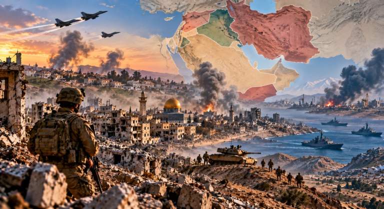
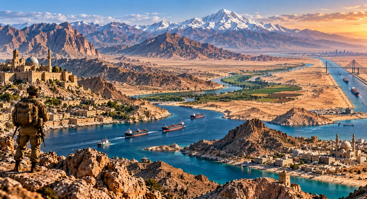
West Asian Geography plays an important role in regional security, international trade and energy supplies. The region includes major mountain ranges, disputed borders and narrow waterways that connect Europe, Asia and Africa. From the Zagros Mountains in Iran to the Strait of Hormuz and the Suez Canal, its physical features influence military planning, transport routes and relations between neighbouring countries.
Thank you for reading this post, don't forget to subscribe!Major Mountain Ranges of West Asia
West Asia has several important mountain systems that affect rainfall, settlement and transport. These mountains also form natural barriers and influence the location of borders.
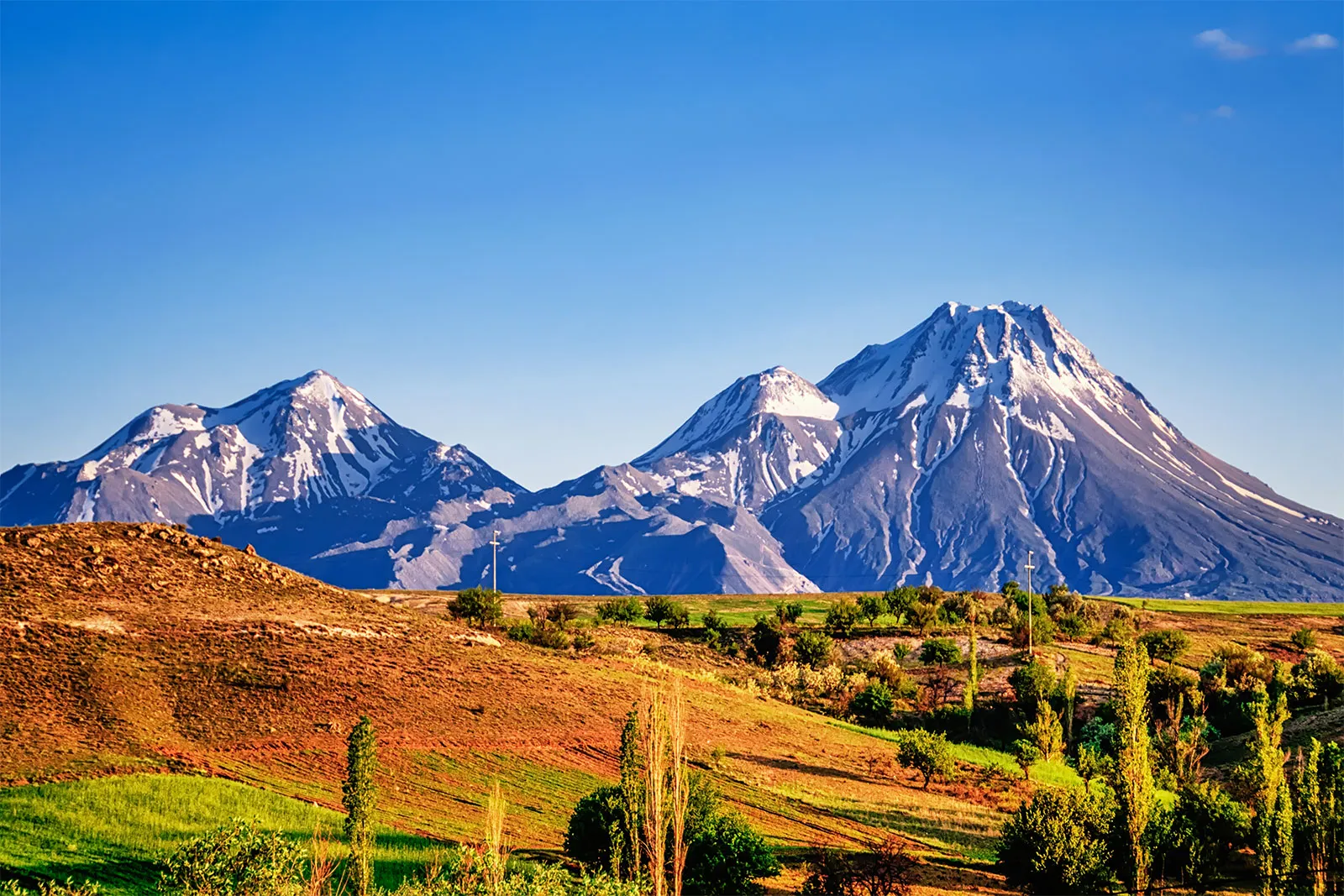
The Taurus Mountains lie in southern Turkey and separate the Mediterranean coastal areas from the Anatolian Plateau. The Pontic Mountains run along the southern coast of the Black Sea and are known for their rugged landscape.
The Zagros Mountains extend across western Iran and parts of northern Iraq. They influence the border landscape and contain areas rich in oil and natural resources. The Elburz, also called Alborz, Mountains lie south of the Caspian Sea in northern Iran. They include Mount Damavand, the highest mountain in Iran.
The Asir Mountains in southwestern Saudi Arabia extend towards Yemen and receive more rainfall than many surrounding areas. The Anti-Lebanon Mountains run along parts of the Lebanon-Syria border. Mount Hermon, located near the borders of Syria and Lebanon and the Israeli-controlled Golan Heights, has major strategic importance.
Strategic Borders and Disputed Territories
West Asian borders have been shaped by wars, political agreements and competing territorial claims. Several areas remain sensitive because they affect military movements, civilian access and national security.
The Golan Heights was captured by Israel from Syria during the 1967 Six-Day War. Israel extended its laws and administration to the territory in 1981, a move rejected by the United Nations Security Council. Most countries do not recognise Israeli sovereignty over the area.
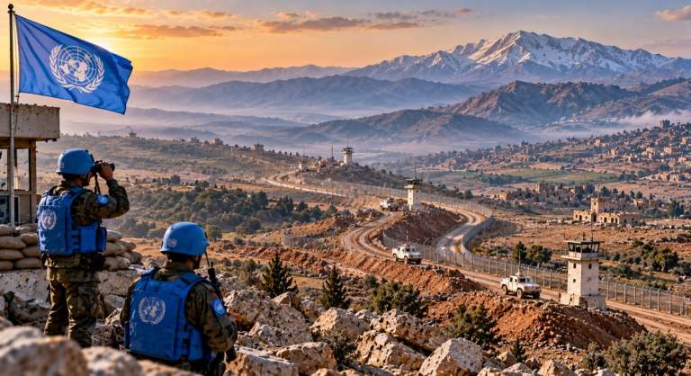
The 1974 Israel-Syria Disengagement Agreement established an area of separation between the two forces. The United Nations Disengagement Observer Force (UNDOF) was created to monitor the arrangements.
The West Bank and Gaza Strip remain central to the Israeli-Palestinian conflict. Their status, borders, security arrangements and future governance continue to be major issues in regional diplomacy.
The Turkey-Syria border is another sensitive frontier, affected by security operations, displacement and Kurdish-related tensions. Meanwhile, the Iran-Iraq border is closely linked to the Zagros Mountains and the Shatt al-Arab waterway, which has played an important role in past disputes.
Major Waterways and Shipping Routes
West Asia contains several maritime chokepoints that are vital to global trade and energy supplies. Disruption in these waterways can increase shipping costs, delay deliveries and affect international energy prices.
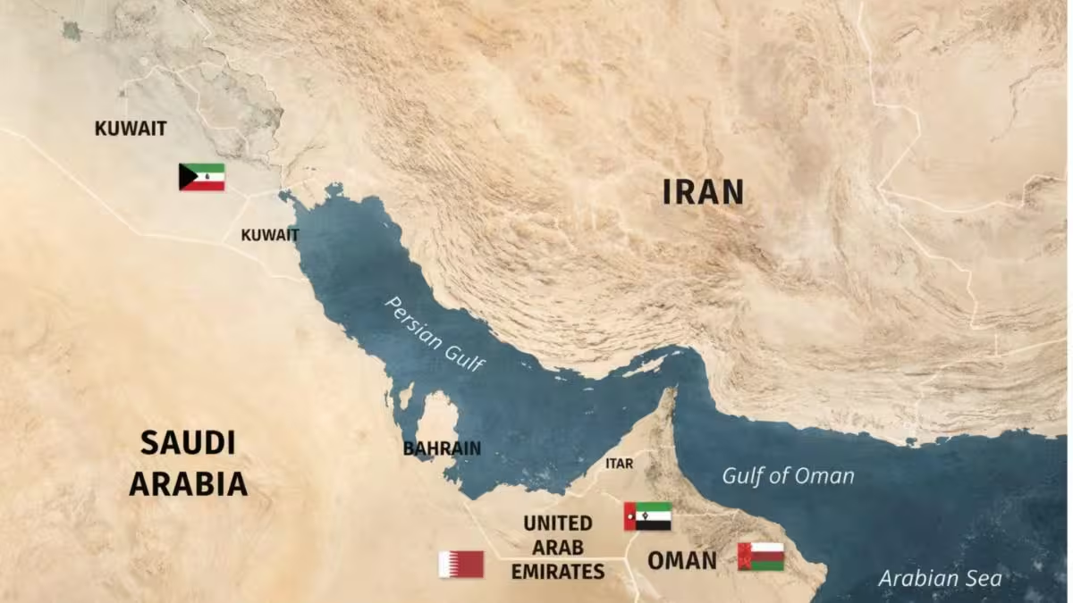
The Strait of Hormuz connects the Persian Gulf with the Gulf of Oman. It is one of the world’s most important oil transit routes, carrying a large share of global petroleum shipments and liquefied natural gas exports. Tensions involving Iran and other regional powers can therefore affect energy markets worldwide.
The Bab-el-Mandeb Strait connects the Red Sea with the Gulf of Aden and the wider Indian Ocean. It lies between Yemen and the Horn of Africa. Attacks on commercial vessels and security threats linked to the Yemen conflict have increased attention on this route and the risks facing ships travelling towards the Suez Canal.
The Suez Canal, located in Egypt, connects the Mediterranean Sea with the Red Sea. It is a major shipping route between Europe and Asia. Disruptions in the Red Sea can force some vessels to travel around the Cape of Good Hope, increasing journey times and costs.
The Bosporus and Dardanelles Straits are located in Turkey. Together, these waterways connect the Black Sea with the Sea of Marmara and the Aegean Sea, providing access to the Mediterranean. They are important for commercial shipping and regional security.
International Agreements and Monitoring Missions
Several agreements have been created to reduce conflict and manage sensitive borders in West Asia. The 1974 Israel-Syria Disengagement Agreement established arrangements for separating forces in the Golan Heights. UNDOF monitors the area of separation under a mandate authorised by the United Nations Security Council.
The Camp David Accords of 1978 created the framework for peace between Egypt and Israel. The 1979 Egypt-Israel Peace Treaty led to Israel’s withdrawal from the Sinai Peninsula.
The Oslo Accords of the 1990s were agreements between Israel and the Palestine Liberation Organization. They established a framework for limited Palestinian self-government in parts of the West Bank and Gaza, but did not resolve all major issues, including final borders and the status of Jerusalem.
These agreements show how geography, security and diplomacy are closely connected in the region. However, the existence of a treaty or monitoring mission does not automatically prevent renewed tensions.
Current Developments Around the Golan Heights
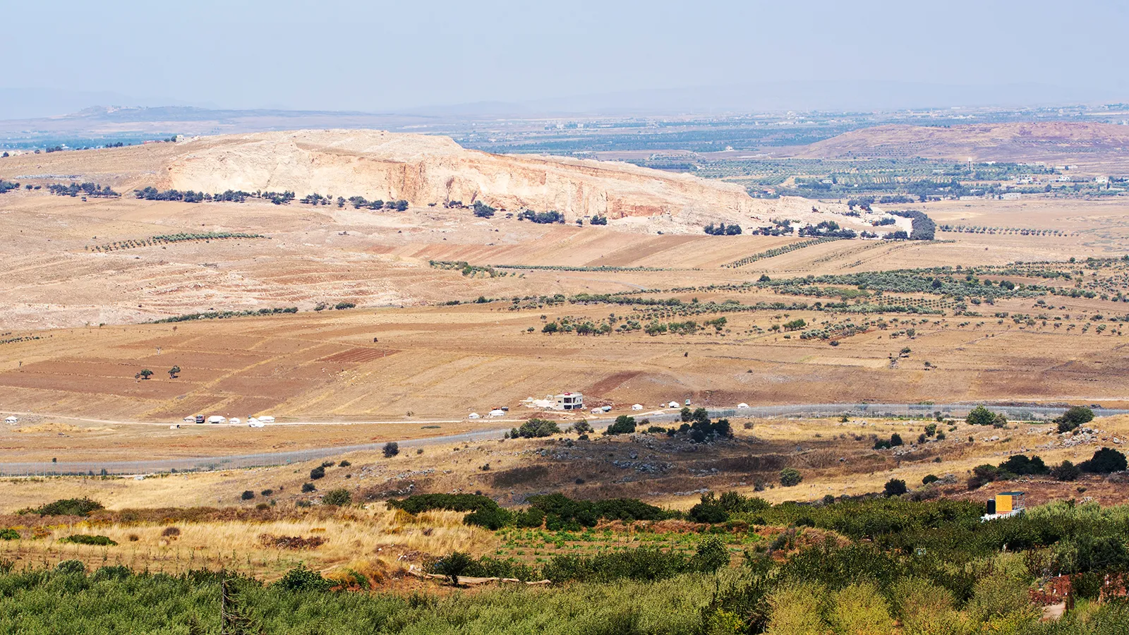
The Golan Heights and southern Syria have received renewed attention because of reported Israeli military and engineering activity near the separation line. The Sufa 53 project, also referred to as the Great Storm or Sufa Line, has been described as a route and fortified system in southern Quneitra, near the Golan Heights and Mount Hermon.
Reports have described roads, earthworks, trenches and observation positions associated with the project. Syrian objections have focused on the 1974 Disengagement Agreement and concerns about sovereignty. Regional criticism has also highlighted the risk that changes near the separation line could increase tensions.
The area is strategically sensitive because of its elevated terrain and its proximity to Syria, Lebanon and Israel-controlled territory. Any significant change in military positions or access routes could affect the work of UNDOF and the wider security situation.
Why West Asian Geography Matters to Global Trade
West Asia’s mountains, borders and waterways affect more than the countries located within the region. The Strait of Hormuz is important for energy supplies, while the Red Sea and Suez Canal provide a major route for international shipping. Security threats in these areas can affect fuel prices, delivery schedules and supply chains in countries far beyond the Middle East.
At the same time, disputed territories such as the Golan Heights and the West Bank show how physical geography can become closely linked to sovereignty and political identity. Regional tensions, military activity and diplomatic negotiations continue to shape how these strategic locations are managed.