
Africa Map Change at UN

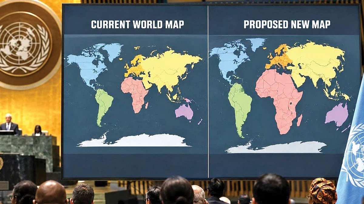
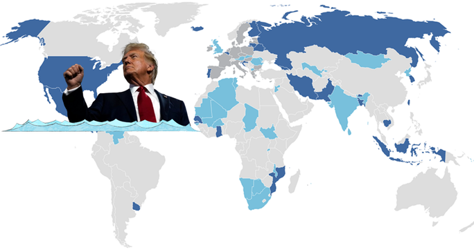
Africa Map has become the focus of a new debate at the United Nations after the General Assembly backed a resolution calling for wider use of maps that show the true relative size of continents. The “Correct the Map” resolution, sponsored by Togo and supported by African Union members, received the backing of 164 countries, including India, France and the United Kingdom. The United States voted against the resolution, while six countries abstained.
UN Supports a More Accurate Africa Map
The resolution calls for governments, organisations and institutions to move away from the traditional Mercator projection and consider maps that represent the relative size of land areas more accurately.

The UN vote is non-binding, meaning it does not legally force countries to replace the maps they currently use. However, supporters say the decision could encourage governments, schools, organisations and other institutions to adopt alternative map projections.
The discussion is about more than how countries appear on a map. Supporters argue that the way continents are drawn can influence how people understand their geographical importance and size.
Why the Mercator Map Is Controversial
The Mercator projection was created by Flemish cartographer Gerardus Mercator in 1569. It was designed mainly for navigation because it allowed sailors to plot courses more easily.
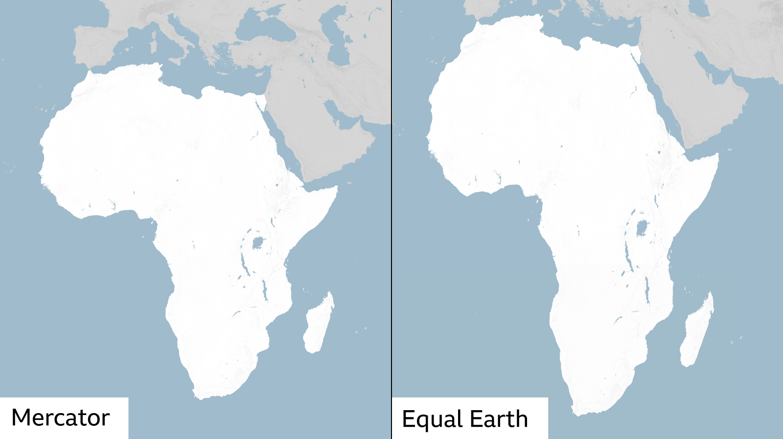
However, the projection has a major limitation. Areas near the North and South Poles appear much larger than they actually are. As a result, countries and regions in northern latitudes can look far bigger on a flat map than their real land area.
Africa is one of the clearest examples of this distortion. On a Mercator map, Africa can appear much closer in size to Greenland, even though Africa’s actual land area is around 14 times larger than Greenland’s.
This does not mean the Mercator projection is incorrect for its original purpose. Its main strength is navigation, while its weakness is accurately showing the relative size of land areas.
Equal Earth Projection Offers an Alternative
One alternative is the Equal Earth projection, developed by a team of cartographers in 2018. It was designed to preserve the relative area of continents and countries more accurately while still presenting the entire world on a flat map.
The Equal Earth projection has gained support among organisations and groups that want maps to provide a better visual representation of the actual size of continents.
In February, the African Union’s 54 member states adopted the Equal Earth projection and said it provides a more accurate representation of the relative sizes of continents, particularly Africa.
Togo Leads the UN Campaign
Togo sponsored the “Correct the Map” resolution at the United Nations. Togolese Foreign Minister Robert Dussey argued that the way the world is represented geographically can affect how people view different regions.
Supporters of the campaign say maps are not simply technical tools. They can shape perceptions about the importance, scale and position of countries and continents.
The campaign has therefore connected geographical representation with wider discussions about Africa’s place in international affairs and the global economy.
France Supports the Map Change
France has also supported the move towards more accurate area-based maps. The country has indicated that it plans to reduce or stop the use of the Mercator projection in favour of alternatives that better represent the relative size of continents.
The support from France adds to the international backing for changing how world maps are commonly displayed.
Countries and institutions can choose different map projections depending on their purpose. Navigation, climate research, education and data analysis may each require different types of maps.
United States Opposes the Resolution
The United States was the only country to vote against the UN resolution. Washington criticised the move and argued that the General Assembly should give greater attention to more serious global challenges.
The US position highlights a different view of the issue. While supporters see the resolution as an important step towards more accurate geographical representation, opponents consider the matter less urgent compared with major international problems.
Because the resolution is non-binding, the vote does not automatically require the United States or any other country to change its maps.
Why Map Projections Distort the World
The debate over the Africa Map is linked to a basic problem in geography. Earth is roughly spherical, while a conventional world map is flat.
It is mathematically impossible to transfer the curved surface of a globe onto a flat sheet without creating some form of distortion. Different map projections therefore preserve different features.
Some projections prioritise shape, others preserve area, while some are designed for navigation or specific geographical analysis.
The Mercator projection preserves certain directions and angles well, making it useful for navigation, but it greatly increases the apparent size of areas closer to the poles.
A Wider Debate About How Africa Is Represented
The UN vote has also opened a broader discussion about how Africa is presented to the world. Supporters say that showing the continent closer to its actual size can provide a better understanding of its geographical scale.
Africa is the world’s second-largest continent by both area and population, and it contains 54 widely recognised sovereign countries. Its geographical size includes a wide range of climates, landscapes and ecosystems.
Campaigners believe that using more accurate area-based maps can help challenge misleading visual impressions created by older projections.
The UN decision does not immediately replace the Mercator projection worldwide. Instead, it adds international support to a growing movement towards using map projections that show the relative size of continents more accurately.