



Anak Krakatau Sees New Landforms

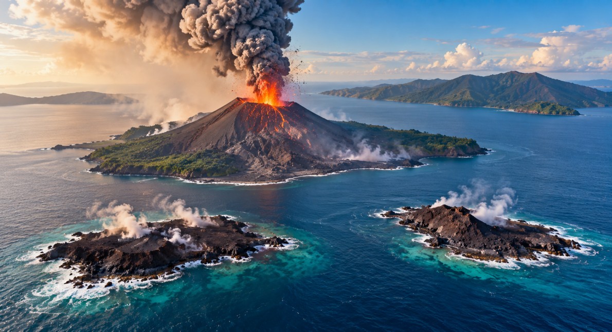
Anak Krakatau has seen major changes in its shape following a powerful eruption in September 2026, with two new landforms detected close to the volcano in Indonesia’s Sunda Strait. Indonesia’s Geological Agency confirmed the formations through reports from mariners and volunteers and analysis of Sentinel satellite images dated September 23. However, officials have said more field checks are needed before the formations can be formally described as new islands or new volcanic vents.
Thank you for reading this post, don't forget to subscribe!Anak Krakatau Changes After September Eruption
The new formations appeared after a continuous eruption that lasted about 25 hours between September 4 and 6. During the eruption, large amounts of lava and other volcanic material were released around the volcano.
The Geological Agency estimated that the eruption added about 32.8 hectares of land to the volcanic structure. The new material was deposited around Anak Krakatau and changed the shape of the area above and near the water.
One of the newly detected formations is located about 760 metres northwest of Anak Krakatau, while another is about 495 metres southeast of the volcano. The two formations appear along a northwest-southeast line, with the main crater located between them.
Are These Really New Islands?
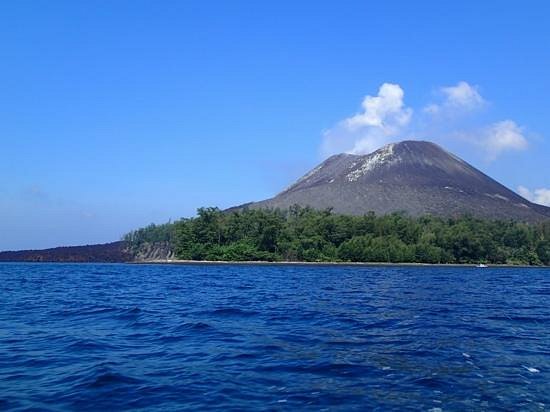
Although the formations have been described as two new islands in initial reports, Indonesian officials are being careful about their exact classification.
The Geological Agency said further data and field studies are needed to determine whether the formations are new eruption centres or simply accumulations of volcanic material. Scientists also explain that lava, ash, rocks and other material can build up around an active volcano and create temporary or changing landforms.
This means the formations could change significantly over time. Waves, tides, erosion and future volcanic activity may alter their shape or even reduce their size.
Land Area Has Expanded Significantly
The September eruption added 32.8 hectares to the land area of Anak Krakatau. Monitoring data later showed that the volcano had reached a total land area of about 341.5 hectares by September 15.
This is larger than the approximately 300 hectares recorded shortly before the devastating December 2018 collapse. The 2018 event caused a major loss of land from the volcano, reducing its area to about 246.18 hectares by December 26 that year. Continued eruptions have since helped rebuild the volcanic structure.
The changes show how quickly an active volcanic island can develop new shapes. Material produced during eruptions can accumulate around the main volcanic structure and gradually form new areas above sea level.
Anak Krakatau Activity Remains Under Watch
Anak Krakatau has remained under close monitoring throughout 2026. The Geological Agency raised its activity status to Level III, or Alert, on July 2 after increased seismic activity and changes in the volcano’s shape.
Following a decline in activity after the September eruption, the status was lowered to Level II, or Warning, on September 21. Officials said the decision was based on declining volcanic activity and deformation data.
Even after the status was lowered, authorities continued to maintain safety restrictions around the volcano. People are advised not to approach within two kilometres of the main crater and within one kilometre of the two newly detected formations.
Why the New Landforms Matter
The appearance of new land near Anak Krakatau provides scientists with an opportunity to study how volcanic islands grow and change.
Volcanic islands can develop when lava, ash, rocks and other eruption material accumulate in the sea. If enough material builds up, it can eventually rise above the water. However, newly formed land can be unstable and may be reshaped by later eruptions, waves and underwater erosion.
The Anak Krakatau region is particularly important because it has experienced major volcanic changes in recent decades. Scientists therefore use satellite images, seismic instruments, cameras and field observations to track changes in the volcano.
Connection With the 1883 Krakatoa Eruption
Anak Krakatau is part of the wider Krakatoa volcanic system in the Sunda Strait between Java and Sumatra. The modern volcano developed after the enormous Krakatoa eruption of 1883.
That historic eruption destroyed much of the original volcanic structure and produced devastating tsunamis. Anak Krakatau later emerged from the same volcanic region and began appearing above the sea in the late 1920s.
The volcano also caused a deadly tsunami in December 2018 when part of its southwestern flank collapsed into the sea during an eruption. The event remains an important reason for continued monitoring of changes around the volcano.
Satellite Technology Helps Track the Changes
The latest formations were identified partly through Sentinel satellite imagery. Satellite monitoring allows scientists to compare images taken before and after an eruption and identify changes in the coastline and volcanic structure.
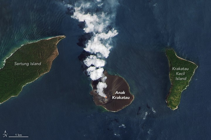
In this case, satellite data helped confirm that land had expanded around Anak Krakatau following the September eruptions. However, satellite observations alone cannot always determine the exact nature or stability of a new landform, which is why Indonesian authorities are seeking additional observations and field verification.
Safety Measures Continue Around the Volcano
Authorities have asked residents, fishermen, tourists and vessels operating near the area to follow official safety instructions. People living along the Banten and Lampung coasts have also been advised to remain calm and avoid unverified reports about possible tsunami threats.
The Geological Agency has stressed that the current restrictions are linked to volcanic hazards around Anak Krakatau. Monitoring continues as scientists observe whether the volcano remains active and how the newly formed land changes in the coming weeks.