



Mars Beaches Discovery Reveals Ancient Ocean Evidence

Mars Beaches Discovery has provided new clues that the Red Planet may once have looked surprisingly similar to Earth. Fresh radar data collected by the Chinese rover Zhurong rover suggests that Mars once had beaches shaped by waves along a vast ocean billions of years ago. The findings, published in the journal Proceedings of the National Academy of Sciences, offer stronger geological proof that liquid water once existed on the Martian surface.
Thank you for reading this post, don't forget to subscribe!Scientists have long suspected that an ancient ocean once covered parts of northern Mars. Surface images have shown dried river channels and valley networks, but clear geological evidence was limited. The latest radar scans now reveal structures beneath the surface that resemble buried coastal deposits similar to beaches on Earth.
Zhurong Rover Reveals Buried Shoreline Structures
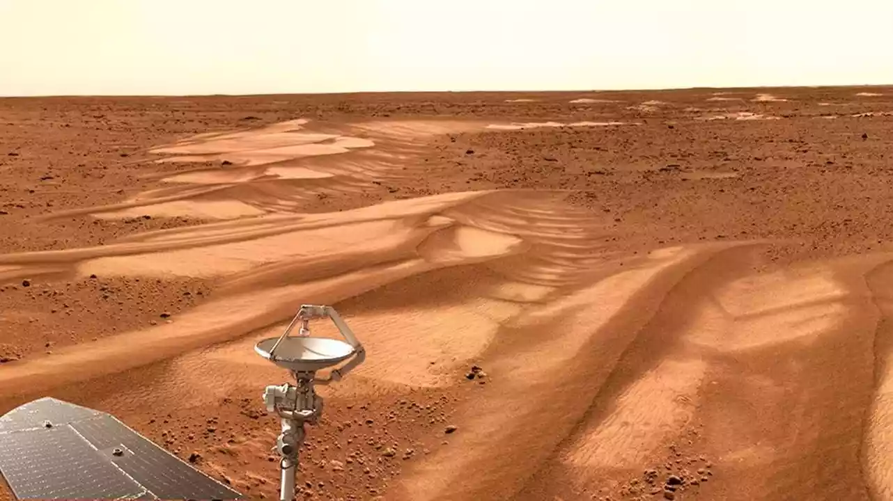
The Mars Beaches Discovery comes from observations made by the Zhurong rover, which landed on Mars in 2021 as part of China’s Tianwen-1 mission. The rover operates in Utopia Planitia, a massive basin located in the northern lowlands of Mars.
Scientists believe this region may once have contained a huge ancient ocean known as the Deuteronilus Ocean. Using ground-penetrating radar, the rover scanned layers several metres beneath the Martian surface. The scans revealed sloping sedimentary structures that resemble beach ridges and coastal deposits formed by wave action on Earth.
Because these formations are buried underground, they have been protected from billions of years of erosion and dust storms on Mars.
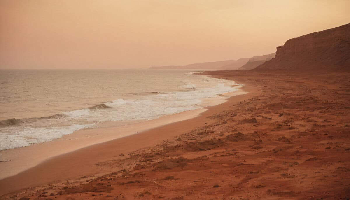
Evidence for an Ancient Ocean in Utopia Planitia
Utopia Planitia is one of the largest impact basins in the Solar System. Planetary scientists believe that during the Late Hesperian period about 3.5 to 4 billion years ago this region may have contained a massive ocean covering large parts of the Martian northern plains.
The radar data revealed repeated dipping layers, a geological pattern commonly produced by sediments deposited along coastlines. On Earth, such formations develop through continuous wave movement that carries sand and sediments along a shoreline.
Researchers say wind-formed dunes would produce very different underground patterns. This difference strengthens the conclusion that the detected structures were formed by water-driven coastal processes.
Ground-Penetrating Radar Confirms Subsurface Layers
Ground-penetrating radar sends radio waves into the ground and studies the signals that bounce back from underground layers. Different materials—such as rock, ice, or sediment reflect the signals differently, allowing scientists to map hidden geological structures.
The radar system on the Zhurong rover can probe up to around 80 metres beneath the Martian surface. The detected layers showed consistent angles and thicknesses typical of coastal sediment deposits. These underground formations preserve valuable evidence that might otherwise have been erased by erosion.
Implications for Mars’ Ancient Climate and Habitability
The Mars Beaches Discovery suggests that Mars once had stable bodies of liquid water and a warmer climate than it does today. For oceans to exist, the planet would have needed a thicker atmosphere capable of maintaining the pressure required for liquid water.
Scientists believe that if waves were strong enough to create sandy beaches, the ocean must have lasted for a long period rather than forming briefly during short melting events. Long-lasting oceans increase the chances that ancient Mars could have supported habitable environments.
Although the study does not prove that life existed on Mars, the discovery strengthens the idea that the Red Planet may once have had conditions suitable for life.