



Ladakh Sanctuary Redraw Proposal Aims to Balance Ecology and Livelihoods

A comprehensive Ladakh Sanctuary Redraw Proposal has been submitted for final approval by the Central government, marking a landmark step toward redefining the boundaries of two of India’s most ecologically and strategically significant protected areas the Changthang Wildlife Sanctuary and the Karakoram Wildlife Sanctuary. The proposed rationalisation aims to harmonise wildlife conservation, strategic imperatives, and local livelihood needs in one of the world’s most fragile and geopolitically sensitive ecosystems.
Thank you for reading this post, don't forget to subscribe!The Revised Sanctuary Boundaries under the Ladakh Sanctuary Redraw Proposal
The Ladakh State Wildlife Board, in its meeting held on September 19, proposed substantial expansions in both sanctuaries’ officially recognized areas. Under the new plan, the Karakoram Wildlife Sanctuary will cover 16,550 square kilometres, while the Changthang Wildlife Sanctuary will span 9,695 square kilometres.
This represents a dramatic increase from the 1987 notifications, which recorded Karakoram at roughly 5,000 sq km and Changthang at 4,000 sq km. However, the proposal also calls for the exclusion of 1,742 sq km from the Nubra Shyok section of Karakoram and 164 sq km from parts of Changthang. These exclusions reflect efforts to align sanctuary limits with ground realities, such as human habitation, grazing zones, and existing settlement boundaries.
Officials involved in drafting the proposal noted that the 1987 notifications lacked precise mapping and boundary clarity, resulting in significant discrepancies between notified and actual protected zones. The current rationalisation corrects those inaccuracies and ensures that protection efforts are scientifically and socially grounded.
Scientific Assessment and Mapping by the Wildlife Institute of India
To address the long-standing inconsistencies, the Wildlife Institute of India (WII) conducted a comprehensive survey and mapping exercise using satellite data, ground-truthing, and local consultations. The study identified High Conservation Value Areas (HCVAs) that require stringent protection.
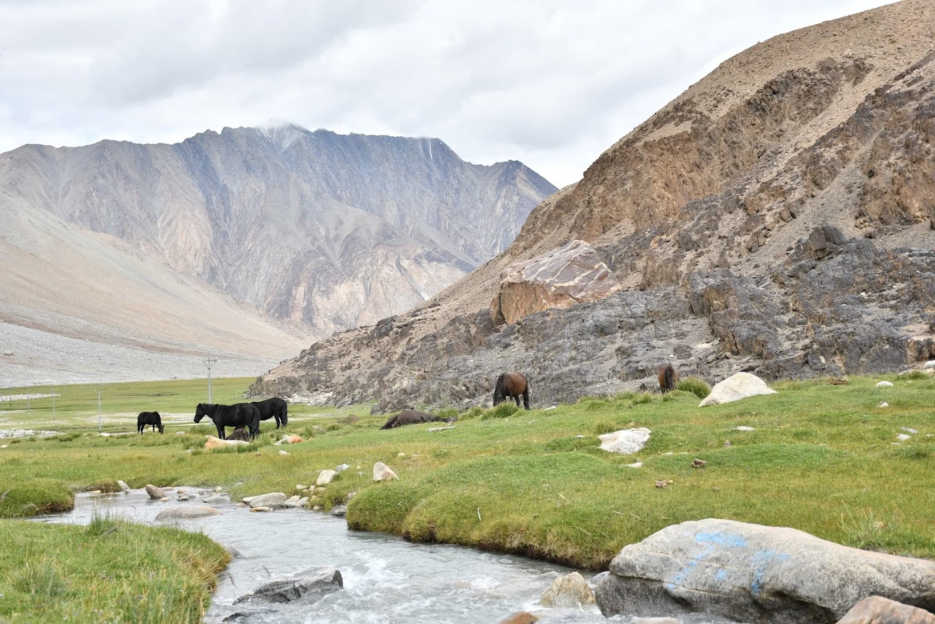
In total, 27 HCVAs were delineated 10 within Karakoram and 17 within Changthang covering crucial habitats for species such as the snow leopard, Tibetan wild ass (kiang), black-necked crane, and argali. The mapping also traced wildlife corridors ensuring ecological connectivity between valleys and highland plateaus.
According to the WII, these redefined boundaries will enable Ladakh’s conservation planning to become data-driven, transparent, and adaptive, especially in the context of climate change and shifting ecological baselines in the trans-Himalayan landscape.
Balancing Conservation and Community Livelihoods
One of the most important objectives of the Ladakh Sanctuary Redraw Proposal is to strike a balance between biodiversity conservation and human well-being. In its current form, the plan proposes the exclusion of 67 villages in Karakoram and 45 in Changthang from the core sanctuary zones.
This move will allow local residents greater flexibility in pursuing sustainable livelihoods, particularly through eco-tourism, homestay ventures, and small-scale infrastructure development. Officials have clarified that the exclusions are not intended to pave the way for commercialisation but to support coexistence between conservation and traditional pastoral lifestyles.
Residents of these regions, many of whom are Changpa nomads, depend on pashmina goat herding and seasonal trade for survival. The revised plan is designed to ensure that while critical wildlife habitats are safeguarded, livelihood opportunities for border populations remain viable.
Chief Wildlife Warden and local administrators have reiterated that eco-friendly tourism, managed through community participation, will be encouraged within the buffer zones of the sanctuaries.

Strategic and Socioeconomic Significance
The Changthang and Karakoram sanctuaries occupy strategically critical zones along India’s northern borders, adjoining China and Pakistan. These regions are not just ecological treasures but also frontline settlements crucial to India’s border security and monitoring efforts.
Officials, including Chief Executive Councillor Tashi Gyalson, emphasised that sustaining local habitation in such high-altitude border areas is vital for national security and territorial integrity. A depopulated frontier, they warned, would weaken India’s human presence along sensitive zones.
Thus, the Ladakh Sanctuary Redraw Proposal integrates ecological protection with defence and developmental goals, ensuring that conservation policies reinforce rather than restrict India’s strategic capabilities in the Himalayan frontier.
Need for Rationalisation and Updated Policy Framework
The proposal also highlights the need for accurate documentation and governance mechanisms for Ladakh’s protected areas. The 1987 notifications, issued before advanced geospatial tools were available, had overlapping boundaries and inaccuracies that led to administrative challenges and local grievances.
By creating updated maps using GIS-based delineation and community inputs, the new framework aims to eliminate ambiguity, ensure effective monitoring, and build trust among local populations.
In addition, the rationalisation process aligns with India’s commitment under the Convention on Biological Diversity (CBD) and its National Wildlife Action Plan (2017–2031), which emphasise community-inclusive and landscape-level conservation approaches.
Exam-Oriented Key Facts
- Sanctuaries Involved: Karakoram and Changthang Wildlife Sanctuaries, Ladakh
- Original Notification Year: 1987
- Revised Areas: Karakoram – 16,550 sq km; Changthang – 9,695 sq km
- Excluded Zones: 1,742 sq km from Karakoram; 164 sq km from Changthang
- Villages Proposed for Exclusion: 67 (Karakoram), 45 (Changthang)
- Study Conducted By: Wildlife Institute of India (WII)
- High Conservation Value Areas Identified: 27 total (10 in Karakoram, 17 in Changthang)
- Core Objective: To reconcile ecological conservation with strategic and livelihood needs
Toward a Sustainable Future
The Ladakh Sanctuary Redraw Proposal represents a forward-looking approach to environmental governance in India’s cold desert region. It not only corrects decades-old cartographic errors but also lays the foundation for coexistence between nature and people in a rapidly changing Himalayan ecosystem.
By combining scientific precision, community participation, and strategic foresight, the proposal sets a model for managing protected areas in other ecologically sensitive border regions.
If approved and implemented effectively, the plan could transform Ladakh into a benchmark for integrated conservation and development, safeguarding both its unique biodiversity and the resilient communities who have long lived in harmony with it.