

NVS-03 Satellite Boosts NavIC

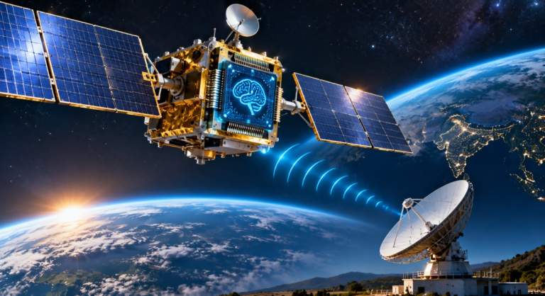
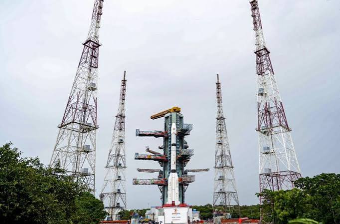
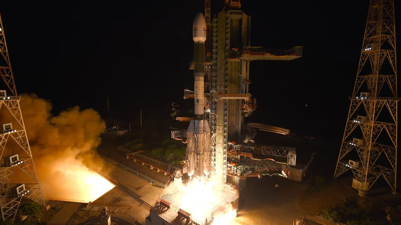
NVS-03 Satellite was launched by the Indian Space Research Organisation (ISRO) on 30 October 2026 to strengthen India’s regional navigation system, NavIC. The GSLV-F18 rocket lifted off at 11:51 pm IST from the second launch pad at the Satish Dhawan Space Centre in Sriharikota, Andhra Pradesh. The mission is expected to improve navigation services for civilian users and support more reliable positioning and timing across India and nearby regions.
The launch marks another step in India’s efforts to develop and maintain its own satellite navigation system. NavIC, which stands for Navigation with Indian Constellation, provides positioning, navigation and timing information without depending entirely on foreign navigation systems.

GSLV-F18 Places NVS-03 in Orbit
The GSLV-F18 rocket carried NVS-03 towards a Geosynchronous Transfer Orbit (GTO). According to the report, the satellite was placed in this orbit about 18 minutes after liftoff.
A GTO is an intermediate orbit used to move a satellite towards its planned operational orbit. After reaching the transfer orbit, a satellite can use its propulsion system to adjust its path and reach its intended position.
The launch was the 20th flight of India’s Geosynchronous Satellite Launch Vehicle (GSLV). The mission also added to ISRO’s series of satellite launches aimed at improving national space-based services.
How NVS-03 Improves NavIC
NVS-03 is part of the second generation of NavIC satellites. It is designed to strengthen the system’s ability to provide accurate and dependable navigation signals.
One of the key features reported for NVS-03 is its atomic clock technology. The satellite carries an indigenously developed atomic clock along with other procured atomic clocks. Atomic clocks provide highly precise time measurements, which are essential for satellite navigation.
Navigation satellites send signals containing timing information. A receiver calculates its distance from satellites by measuring how long the signals take to arrive. Accurate timing is therefore important for calculating a user’s position.
Addition of the L1 Navigation Signal
NVS-03 adds the L1 frequency to NavIC’s existing L5 and S-band signals. This is an important change for civilian navigation services.
The L1 frequency is widely used by other global navigation satellite systems. Its addition is expected to improve compatibility with receivers that support multiple navigation systems, including devices used for navigation and location-based services.
Greater signal compatibility may help NavIC work with a wider range of receivers. This can support applications such as vehicle navigation, location services, transport management and other civilian uses.
NavIC’s Coverage and Services
NavIC provides positioning, navigation and timing services across India and up to around 1,500 kilometres beyond the country’s borders, according to the supplied report.
The system offers two main service types. The Standard Positioning Service is available for civilian use, while the Restricted Service is encrypted and intended for authorised users.
NavIC is designed to support a range of activities, including:
- Navigation for road, air and maritime transport
- Location-based services for mobile and other devices
- Timing support for systems that require precise synchronisation
- Emergency and disaster-related information
- Positioning services for users across India and nearby regions
NavIC also includes a messaging capability that can deliver geographically targeted information. Such messages can be useful for sending warnings and alerts to people in specific areas, including fishermen who may need information about changing weather conditions.

Why the NVS-03 Mission Matters
Satellite navigation has become an important part of everyday life and modern infrastructure. It supports transport, communication networks, emergency response and many services that depend on accurate location or timing.
Maintaining a reliable navigation system requires satellites to be replaced or upgraded as they age. The launch of NVS-03 is intended to strengthen NavIC and help maintain its operational capability.
The mission also highlights India’s continuing work in space technology, including the development of navigation satellites and important onboard systems. By expanding NavIC’s signal options and improving its satellite infrastructure, ISRO aims to support a broader range of users and applications.