



SWOT Satellite Ocean Mapping Enhances Ocean Floor Research

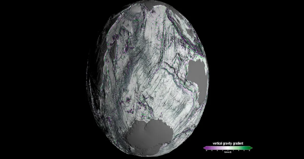
SWOT Satellite Ocean Mapping has opened a new chapter in ocean research. Recently, NASA created a detailed map of the ocean floor using data from the Surface Water and Ocean Topography (SWOT) satellite. This breakthrough helps scientists better understand underwater features and global water movement. It is also important for studying climate change and ocean systems.
Thank you for reading this post, don't forget to subscribe!About the SWOT Satellite Mission
The SWOT satellite was launched in 2022 as a joint mission between NASA and CNES. Its main goal is to measure changes in Earth’s water bodies such as oceans, rivers, lakes, and reservoirs. SWOT Satellite Ocean Mapping provides high-resolution data that helps scientists track how water moves and changes over time.
Advanced Technology Behind SWOT Satellite Ocean Mapping
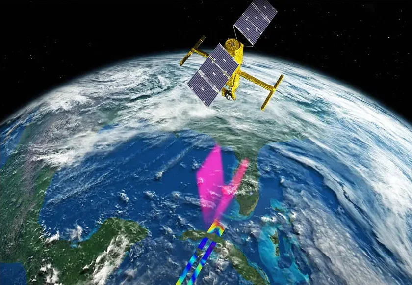
One of the key features of SWOT Satellite Ocean Mapping is the Ka-band Radar Interferometer (KaRIn). This advanced tool sends microwave signals to the Earth’s surface and measures the time it takes for them to return. With this method, it can calculate water height and surface levels very accurately. This allows scientists to study even small changes in water systems.
Global Coverage and Monitoring Power
SWOT Satellite Ocean Mapping can scan about 90 percent of the Earth’s surface every 21 days. It can observe rivers wider than 330 feet and more than one million lakes and reservoirs larger than five acres. It also helps track large floods around the world, making it useful for disaster planning and management.
SWOT Satellite Ocean Mapping Role in Climate and Ocean Studies
SWOT Satellite Ocean Mapping is very important for climate research. It can detect small changes in ocean surface height, helping scientists study ocean currents and eddies. These currents play a big role in absorbing heat and carbon from the atmosphere. The improved ocean floor maps also support research on marine life and environmental sustainability.
Key Highlights of SWOT Satellite Ocean Mapping
- SWOT stands for Surface Water and Ocean Topography satellite
- It is a joint mission of NASA and CNES launched in 2022
- KaRIn instrument measures water surface elevation
- Helps study floods, ocean currents, and water distribution