


Brahmaputra Dam: China’s $168 Billion Project

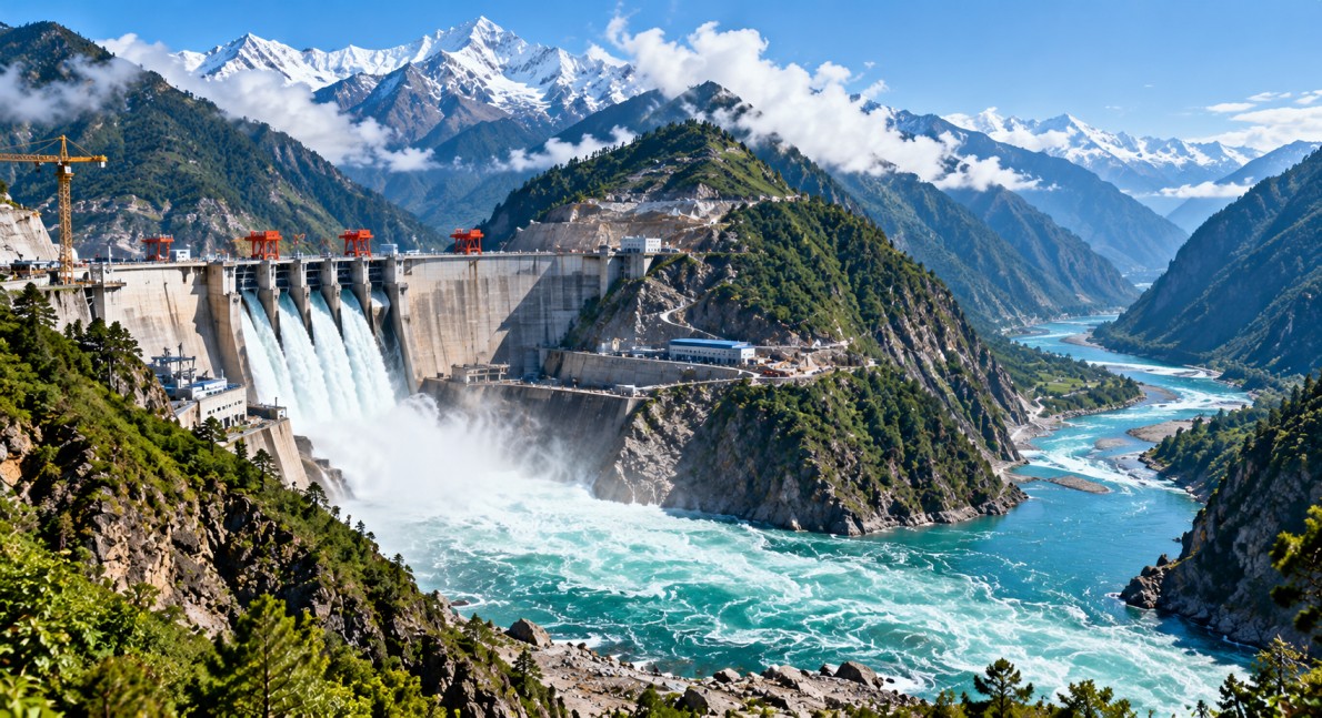
Brahmaputra Dam is at the centre of growing discussion about hydropower, climate change and flood risks in South Asia. China is planning a massive hydropower project in Medog, Tibet, with an estimated cost of $168 billion and a proposed capacity of more than 60,000 megawatts. The project is planned on the Yarlung Tsangpo River, which flows into India as the Brahmaputra before continuing towards Bangladesh. Researchers have also warned that climate change could increase river runoff and affect flood risks in the region.
China’s $168 Billion Hydropower Project
The proposed Brahmaputra Dam project is planned in Medog, in the Tibet Autonomous Region of China. It is expected to become one of the world’s largest hydropower installations if completed as planned.

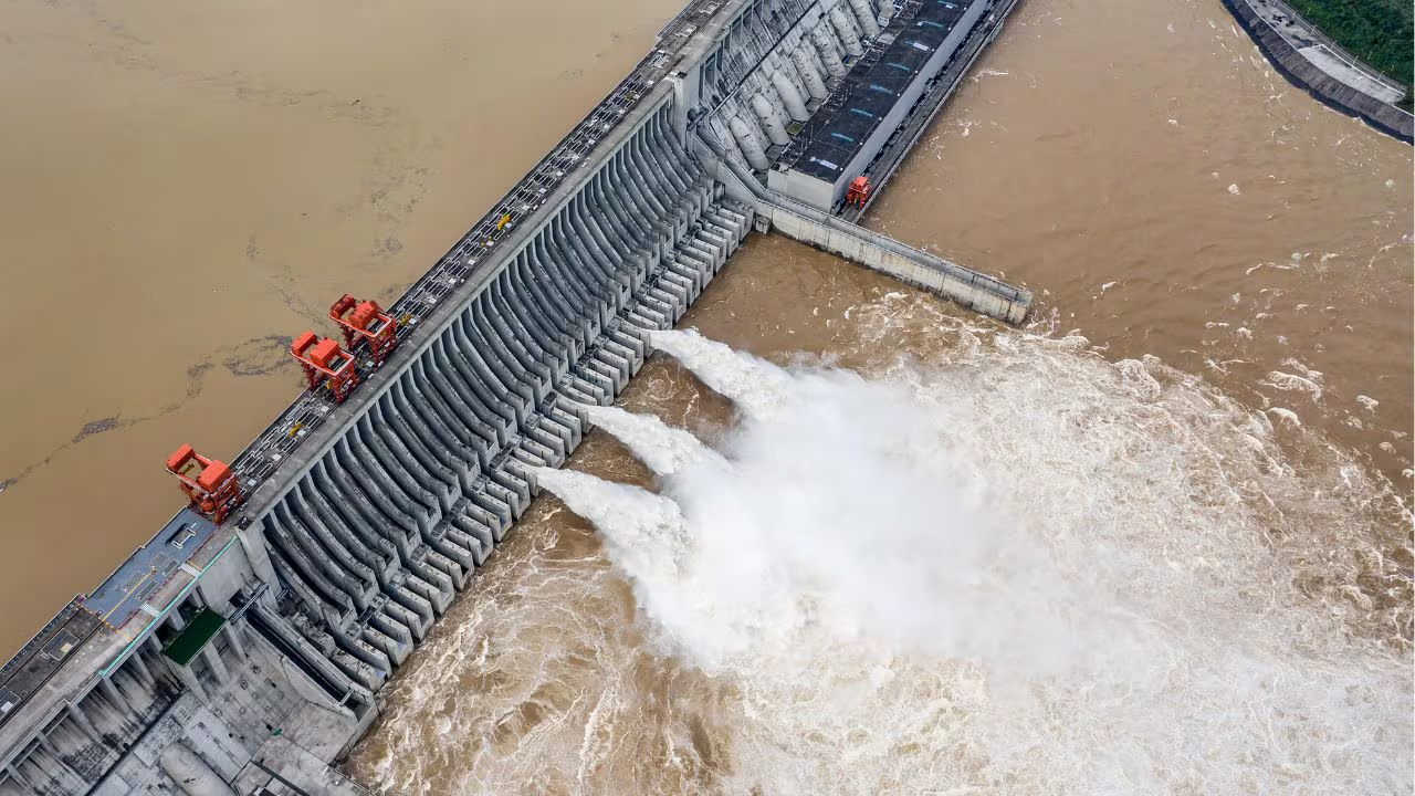
The project is designed to generate electricity by using the force of flowing water. Its proposed capacity of more than 60,000 megawatts is nearly three times the installed capacity of China’s Three Gorges Dam, which stands at 22,500 megawatts.
Hydropower is an important source of renewable electricity because it does not require the burning of coal or natural gas to generate power. However, large dam projects can also raise questions about construction safety, river ecosystems, local communities and the effects on countries located downstream.
The project’s location and enormous planned capacity make it important for discussions about regional energy development and water management.
Climate Change and Rising Flood Risks
The Brahmaputra River depends on rainfall, snowmelt and glacier melt across its large catchment area. Changes in temperature and precipitation can affect the amount of water entering the river and the timing of seasonal floods.
According to the research described in the report, scientists from the Chinese Academy of Sciences and Yunnan University studied long-term river runoff patterns. Their work combined climate information with reconstructed runoff records covering the period from 1325 to 2020.
Researchers used tree-ring data from the southeastern Tibetan Plateau to help understand past environmental conditions. Tree rings can preserve information about earlier climate patterns because tree growth is influenced by factors such as rainfall and temperature.
The findings were reported as published in China Science Bulletin on 8 October 2026. The research highlights the importance of studying historical river conditions to understand possible future changes.
The Tibetan Plateau is warming rapidly. Rising temperatures can change snow and glacier melt, affect rainfall patterns and alter the amount of water flowing into rivers. These changes may increase flood risks in some places while creating water shortages in others.
Dam Location Raises Geological Concerns
The proposed dam site lies in a deep Himalayan gorge near an active fault line. This raises questions about geological stability and the challenges of building large infrastructure in a mountainous region.
According to the report, Chinese geologists raised concerns about the fault and landslide risks in July 2026. Strengthening slopes and studying the surrounding geology are important steps when planning major construction in such areas.
Earthquakes, unstable slopes and landslides can threaten infrastructure in mountainous terrain. Large hydropower projects therefore require detailed geological surveys, careful engineering and ongoing safety monitoring.
The location is also significant because the Yarlung Tsangpo makes a sharp U-turn in the Himalayan region before flowing into India. The river then passes through Arunachal Pradesh and Assam, making changes to its flow an important concern for downstream communities.
Why India and Bangladesh Are Concerned
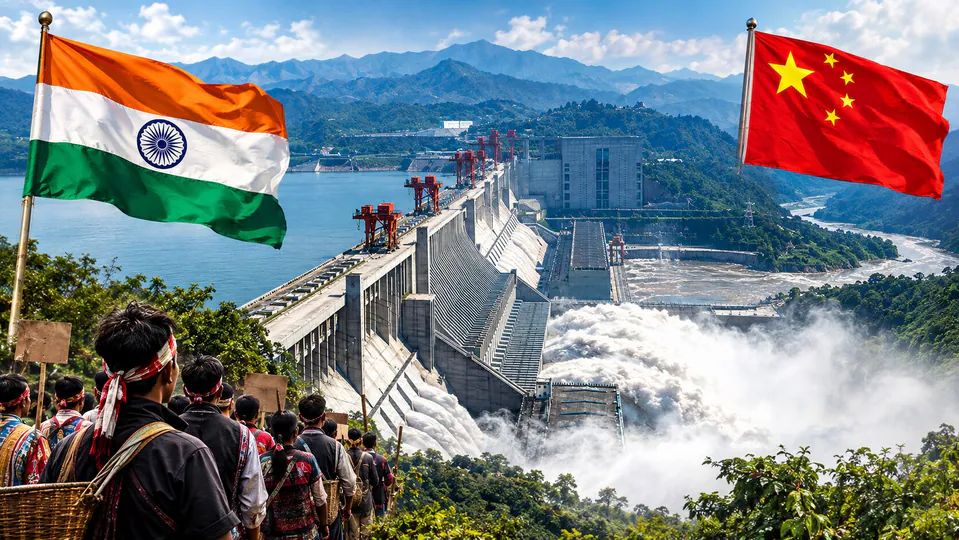
The Brahmaputra is a transboundary river shared by China, India and Bangladesh. Millions of people depend on its water for agriculture, fishing, transport and other daily needs.
After entering India, the river flows through Arunachal Pradesh and Assam. It then enters Bangladesh, where its main channel is known as the Jamuna.
Changes in river flow can affect flood control, farming, riverbank erosion and freshwater ecosystems. The effects of a large dam would depend on how it is operated, the amount of water stored and released, and the conditions of the river throughout the year.
India and Bangladesh have reasons to seek reliable information about projects that may influence water flows across their borders. Access to timely information about water releases and flood conditions can help downstream regions prepare for extreme weather.
China’s Foreign Ministry has stated that the project will not harm downstream countries and that safety assessments have been carried out. However, the long-term effects will depend on the project’s design, operation and environmental conditions.
India’s Plans for Downstream Water Management
India is also considering ways to improve water storage and manage variations in the Brahmaputra’s flow. According to the report, a large downstream dam was being planned as of 26 October 2026.
Water storage infrastructure can help manage seasonal flows and support electricity generation. Depending on its design and operation, it may also contribute to flood management. However, dams alone cannot eliminate flood risks, especially when extreme rainfall, landslides and rapid snowmelt occur.
Better flood forecasting, river monitoring, early-warning systems and cooperation between regions are also important. Sharing reliable information about rainfall and river levels can help communities prepare for dangerous conditions.
What the Brahmaputra Dam Means for the Region
The proposed Brahmaputra Dam highlights the links between energy production, climate change, environmental protection and international relations. While the project could provide a large amount of electricity, its location on a major transboundary river means that its effects may be important beyond China’s borders.
Future assessments will need to consider geological safety, river ecosystems, water availability and the possible effects on communities downstream. Scientific research and transparent communication between the countries sharing the river can help improve understanding of these risks.
As climate patterns change, long-term river data and accurate forecasts will become increasingly important for managing floods and protecting people who live along the Brahmaputra.