


EOS-05 Satellite: ISRO’s New Mission

EOS-05 Satellite is scheduled for launch by the Indian Space Research Organisation (ISRO) on 4 September 2026 from the Second Launch Pad at the Satish Dhawan Space Centre in Sriharikota, Andhra Pradesh. Also known as GISAT-1A, the satellite will be carried by the GSLV-F17 rocket and placed into a Sub-Geosynchronous Transfer Orbit. With a mass of about 2,367 kg, EOS-05 is designed to strengthen India’s ability to observe and monitor the Indian subcontinent from space.
EOS-05 Satellite Mission
The EOS-05 Satellite is an Earth observation spacecraft developed for imaging and monitoring activities. The mission is expected to provide frequent images of large areas, making it useful for applications that require quick updates from space.

Unlike satellites that mainly provide occasional images of a particular location, the planned system is designed for rapid observation. The satellite is expected to provide images of the Indian region at intervals of around 30 minutes. For selected priority areas, the reported revisit time can be as short as five minutes.
Such frequent observations can be useful for monitoring changing conditions on the ground. They can support activities related to weather observation, disaster management, agriculture, water resources and other areas where timely information is important.
GSLV-F17 and Launch Preparations
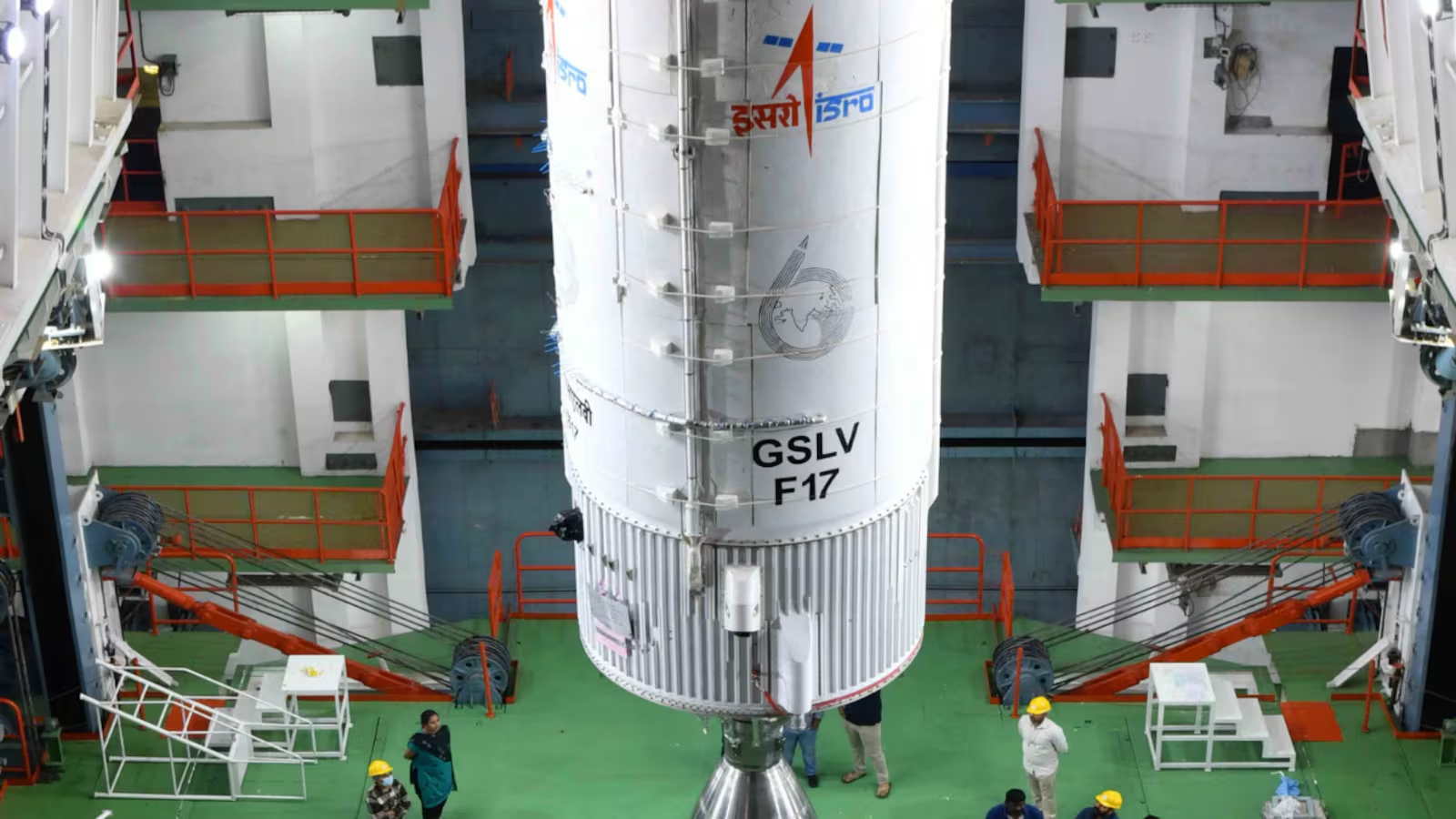
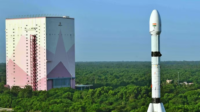
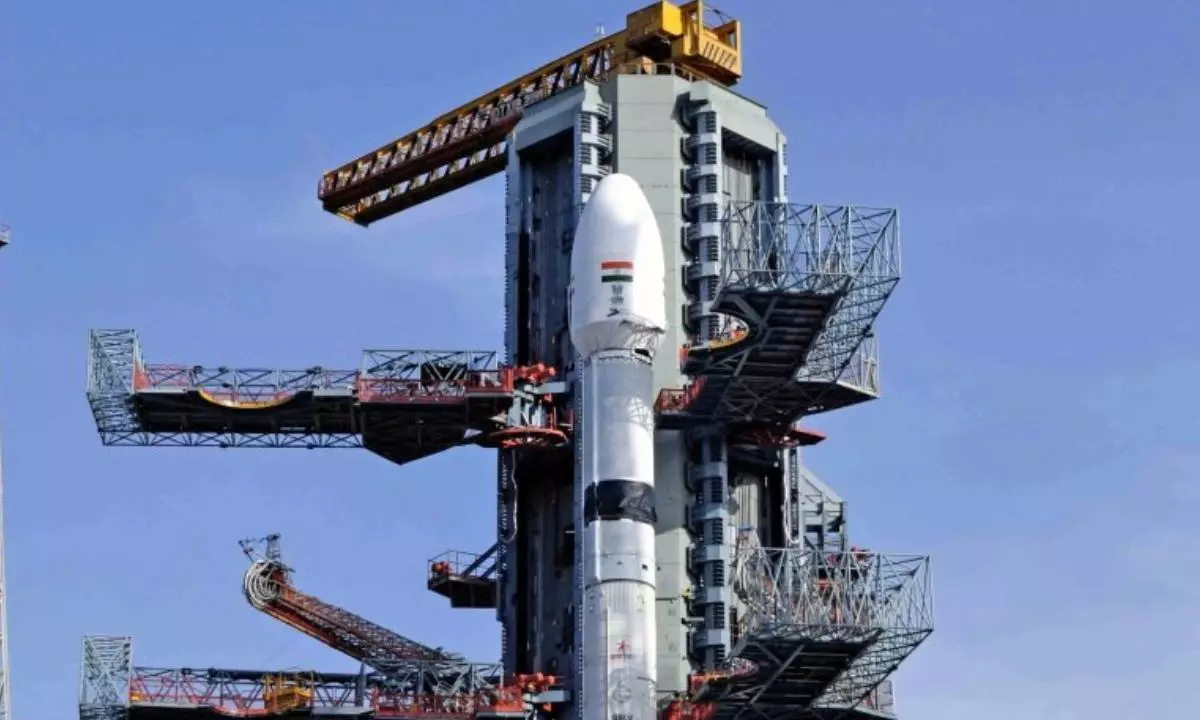
The GSLV-F17 has been selected to carry the EOS-05 Satellite into space. The Geosynchronous Satellite Launch Vehicle, commonly called GSLV, is one of ISRO’s major launch vehicle families and is designed to place heavier spacecraft into geosynchronous transfer orbits.
GSLV-F17 is approximately 51.7 metres tall and has a lift-off mass of about 420.5 tonnes. One of the important features of the GSLV system is its cryogenic upper stage. Cryogenic propulsion uses very low-temperature propellants and provides the high energy required for demanding orbital missions.
The launch is planned from Sriharikota, India’s main spaceport. The Satish Dhawan Space Centre has two major launch complexes and has supported a wide range of satellite missions carried out by ISRO.
Earth Observation from Space
Earth observation satellites collect information about the planet’s surface and atmosphere using cameras and other sensors. The data can be used to study land, vegetation, water bodies, clouds and changes caused by natural or human activity.
EOS-05 is expected to contribute to this growing network of space-based observation systems. Frequent imaging can be particularly useful during rapidly developing situations, such as floods, cyclones, landslides and other disasters.
Satellite imagery can also help authorities assess affected areas and plan relief operations. In agriculture, Earth observation data can assist in monitoring crops, vegetation and land conditions. Similar information can support water management and infrastructure planning.
Geosynchronous Orbit and Continuous Observation
The mission is linked with geosynchronous and geostationary orbital operations. A geostationary orbit is located approximately 35,786 kilometres above the equator. A satellite placed in this orbit takes about the same amount of time to complete one revolution as Earth takes to rotate once.
Because of this relationship, a geostationary satellite appears to remain over nearly the same region of Earth. This makes such orbits particularly useful for continuous observation and communication services.
EOS-05 is planned to operate from a geostationary orbit after reaching its intended operational position. Its ability to observe a broad area repeatedly is expected to support applications where rapid information is needed.
EOS-05 and Weather Monitoring
Weather monitoring is one of the important areas where high-frequency satellite observations can provide value. Space-based observations can help scientists track cloud development, atmospheric conditions and weather systems over large regions.
Rapid satellite imaging can also be useful when severe weather events develop. Cyclones, heavy rainfall and other atmospheric events can change quickly, so frequently updated observations can improve the availability of information for monitoring and response.
The satellite’s coverage of the Indian subcontinent is therefore expected to complement India’s existing Earth observation and meteorological satellite capabilities.
Role of ISRO
ISRO is responsible for the development and launch of India’s major space missions. Its Earth observation programmes have produced satellites used for agriculture, cartography, disaster management, environmental monitoring and national development activities.
The EOS series forms an important part of India’s remote-sensing capabilities. These satellites provide data that can be used by government agencies, researchers and other users for monitoring natural resources and changes on Earth’s surface.
The planned EOS-05 mission also demonstrates the continued use of India’s GSLV launch system for heavier spacecraft and high-energy orbital missions.
Mission Timeline
The EOS-05 Satellite is scheduled to lift off on 4 September 2026 from Sriharikota aboard GSLV-F17. Following launch, the spacecraft will be placed into its planned transfer orbit before being positioned for its operational mission.
Once deployed and commissioned, the satellite is expected to provide frequent imaging over the Indian region. Its planned rapid revisit capability could make it particularly useful for applications requiring timely information about changing conditions on Earth.