


Ganga Floodplain Demarcation

Ganga Floodplain demarcation has been completed by Uttar Pradesh along a 700-kilometre stretch of the Ganga River covering 13 districts from Unnao to Ballia. The state has marked the floodplain boundary on the ground using 7,350 pillars. The progress was reported before the National Green Tribunal (NGT) in August 2026 as part of efforts to improve river management and control unauthorised construction near the river.
Uttar Pradesh Marks 700-km Ganga Floodplain
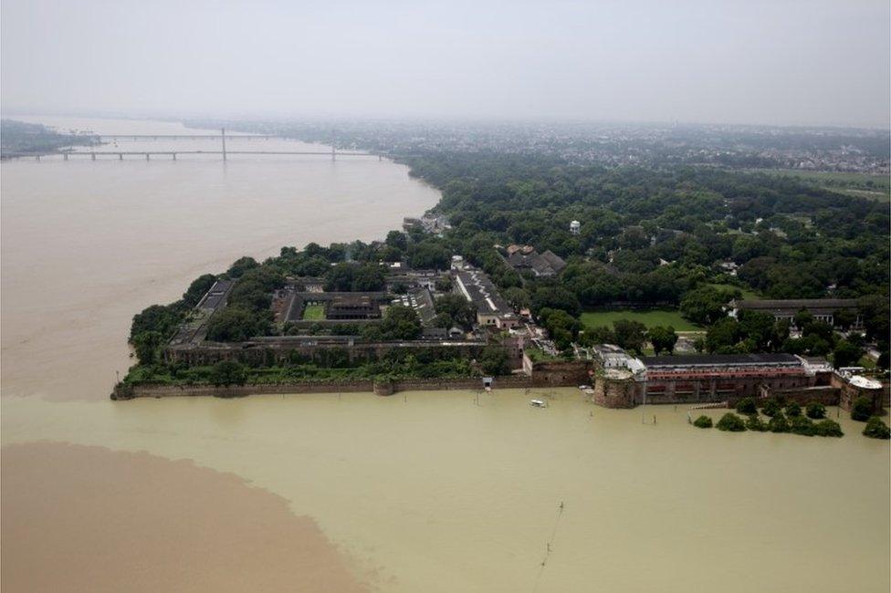
The completed demarcation covers a long section of the Ganga as it passes through Uttar Pradesh. The work is important because floodplains are naturally low-lying areas beside rivers that may become flooded when water levels rise.

Clearly identifying these areas can help authorities understand where development may create risks during floods. It can also support better land-use planning and protection of river ecosystems.
The physical boundary has been marked with thousands of pillars. These markers provide a visible reference for government officials while monitoring activities along the river corridor.

National Green Tribunal Reviews the Progress
The status of the work was placed before the National Green Tribunal, which deals with important environmental matters in India. The NGT was established under the National Green Tribunal Act, 2010, to provide specialised environmental justice.
The Uttar Pradesh Irrigation and Water Resources Department submitted a status affidavit through its Chief Engineer confirming that the physical demarcation had been completed.
The proceedings were taken note of by a bench headed by NGT Chairperson Justice Prakash Shrivastava along with expert member Afroz Ahmad.
The tribunal’s involvement highlights the growing importance of scientific river management, environmental protection and regulation of activities in sensitive areas.
Floodplain Mapping Can Help Control Encroachment
One of the major purposes of floodplain demarcation is to identify the area that needs special attention during development planning. River-adjacent land can face flooding, erosion and changes in the river’s course.
Without clearly marked boundaries, unauthorised construction and encroachment can become difficult to monitor. Physical markers make it easier for local authorities to identify the limits of the floodplain and take action when necessary.
The measure can also help improve coordination between departments responsible for irrigation, urban development, revenue administration and environmental protection.
Demarcation Extended to Ganga Tributaries
The Uttar Pradesh government has also carried out floodplain delineation for several tributaries of the Ganga. These include the Yamuna, Ramganga, Betwa, Suvav, Tedhi, Budhi Ganga, Solani and Khokhri rivers.
However, the work is still in progress for several other rivers. These include the Kali, Varuna, Hindon, Pandu and Noon.
Tributaries are important parts of the Ganga river system. Their floodplains can also affect nearby settlements, agricultural land and infrastructure during periods of heavy rainfall.
Why Floodplain Protection Matters During Monsoon
The development comes at a time when flood management remains an important issue across northern India. During the monsoon, heavy rainfall can increase water levels in rivers and tributaries, particularly when upstream areas also receive substantial rainfall.
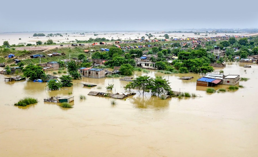
Floodplains naturally provide space for excess water. Unplanned construction in these areas can reduce this space and increase the risk of waterlogging and flooding.
Protecting floodplain areas can therefore support both disaster risk reduction and environmental conservation.
Ganga Conservation and Land-Use Planning
The Ganga is one of India’s most important river systems and supports millions of people through agriculture, drinking water, fisheries, transport and other activities. At the same time, the river faces challenges such as pollution, encroachment, untreated wastewater and pressure from urban development.
Floodplain demarcation is one part of wider river management. It provides authorities with a clearer understanding of sensitive areas along the river and can support decisions related to construction and land use.
The use of physical pillars also provides a practical method of identifying boundaries on the ground rather than depending only on maps and administrative records.
Role of Technology and Scientific Mapping
Modern river management increasingly combines physical surveys with satellite imagery, geographic information systems and other mapping technologies. Such tools can help authorities understand changes in river channels, flood-prone areas and land use over time.
Scientific identification of floodplain boundaries can be particularly useful because rivers are dynamic systems. Their channels and surrounding areas can change because of floods, erosion, sediment movement and human activity.
Combining field-level markers with updated digital maps can help government agencies monitor changes more effectively.
A Step Towards Better River Management
The completion of the Ganga Floodplain demarcation in Uttar Pradesh provides a clearly identified boundary for a major section of the river corridor. Covering 700 kilometres across 13 districts and marked by 7,350 pillars, the project gives local authorities a physical reference for managing development near the river.
The continuing work on Ganga tributaries shows that floodplain management is being extended beyond the main river. As climate patterns, rainfall and urban growth continue to place pressure on river systems, accurate floodplain identification can become increasingly important for flood preparedness, environmental protection and responsible land-use planning.