


IMD Cyclone DSS Launched

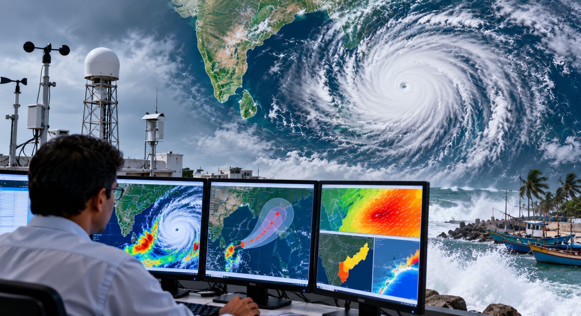
IMD Cyclone DSS was launched by the India Meteorological Department (IMD) on 12 October 2026 to make cyclone warnings and marine weather information easier to access. The new Decision Support System (DSS) was introduced during the IMD’s pre-cyclone exercise meeting for the October-December 2026 post-monsoon season. The platform brings important weather forecasts and warnings together on interactive digital maps, helping coastal communities, disaster management teams and maritime users understand possible risks.
What Is the IMD Cyclone DSS?
The IMD Cyclone Warning and Marine Weather Services Decision Support System is an online platform designed to display cyclone-related information in one place. It uses WebGIS, a web-based geographic information system, to present weather data on digital maps.

Users can view cyclone tracks, forecast intensity, wind information, rainfall warnings and storm surge forecasts. The system also provides rainfall forecasts for river catchments and warnings at the district level.
One of its important features is the “cone of uncertainty”. This shows the area within which a cyclone’s future path is expected to remain, based on the forecast. It helps users understand that a cyclone’s exact route cannot always be predicted with complete certainty.
The platform is available through the IMD and Regional Specialised Meteorological Centre (RSMC) New Delhi websites.
How the New System Can Help During Cyclones
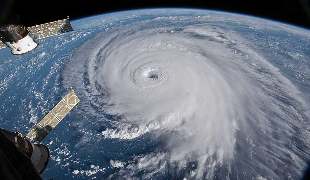
Cyclones can bring destructive winds, heavy rainfall, flooding and dangerous sea conditions. Coastal areas may also face storm surges, which are unusual rises in sea level caused mainly by a cyclone’s winds and low atmospheric pressure.
By bringing different types of forecasts together, the IMD Cyclone DSS can help users understand several possible hazards at the same time. District-level rainfall warnings can support local authorities in preparing for flooding, while wind and storm surge information can help coastal communities assess potential dangers.
The map-based system is intended for the public, disaster management authorities, coastal residents, fishermen and other maritime users. Access to clear warning information can help people make safer decisions and prepare for possible emergencies.
However, forecasts do not remove all uncertainty. Users should continue to follow official warnings, evacuation instructions and safety advice issued by the relevant authorities.
Role of the India Meteorological Department
The India Meteorological Department is India’s national weather service and operates under the Ministry of Earth Sciences. Established in 1875, it provides weather forecasts, cyclone warnings and meteorological services for areas such as aviation, shipping and agriculture.
The Regional Specialised Meteorological Centre in New Delhi provides tropical cyclone advisories for the north Indian Ocean, including the Bay of Bengal and the Arabian Sea.
The IMD’s new system is intended to make its forecast information easier to understand by presenting multiple weather-related details through a single map-based interface.
Dr Mrutyunjay Mohapatra, Director General of Meteorology at the IMD, chaired the pre-cyclone exercise meeting during which the platform was launched.
Pre-Cyclone Preparedness Meeting in 2026
The launch took place as part of preparations for the post-monsoon cyclone season, which generally runs from October to December in the north Indian Ocean.
According to the supplied report, around 230 participants from more than 30 organisations attended the pre-cyclone meeting. Participants included representatives of the National Disaster Management Authority and the National Disaster Response Force.
A training workshop on cyclone warnings and marine weather services was also held on 9 October 2026. More than 650 stakeholders, disaster managers and media representatives attended the workshop, where the new system was demonstrated.
These meetings provide opportunities for agencies and other stakeholders to understand warning services, review preparedness plans and improve coordination before severe weather events occur.
Understanding Marine Weather Warnings
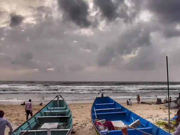
Marine weather information is important because cyclones can create dangerous conditions at sea, even when their centres remain far from the coast. Strong winds and high waves can affect fishing boats, commercial shipping and other vessels.
Storm surge forecasts are particularly important for low-lying coastal areas, where rising seawater can lead to flooding. Heavy rainfall can also cause rivers to overflow, affecting communities far inland.
The IMD Cyclone DSS brings these different risks into a shared platform. By combining forecasts and warnings, it can support planning by local authorities, emergency services and people whose work depends on weather and sea conditions.
Why the Launch Matters
The launch of the IMD Cyclone DSS reflects the growing use of digital mapping and data-based tools in disaster preparedness. As forecasting systems improve, presenting information clearly is an important part of helping people understand and respond to possible hazards.
The platform brings cyclone tracks, wind forecasts, rainfall information and storm surge data together, reducing the need to view these details separately across different sources.
For coastal communities and disaster management teams, timely access to reliable information can support preparation before a cyclone makes landfall. The effectiveness of the system will also depend on regular forecast updates, public awareness and coordination among agencies responsible for emergency response.