


Kaziranga Elevated Corridor Explained: A New Lifeline for Wildlife and Roads

Kaziranga Elevated Corridor Explained this phrase has come into focus as India prepares to launch one of its most ambitious infrastructure projects in an ecologically sensitive region. Prime Minister Narendra Modi is set to flag off a 34.5-kilometre-long elevated corridor passing through Assam’s iconic Kaziranga landscape. Valued at around ₹6,950 crore, the project is being presented as a long-term answer to a serious and long-standing problem: the loss of wildlife lives due to heavy traffic moving along a national highway that skirts the edge of Kaziranga National Park.
Thank you for reading this post, don't forget to subscribe!Kaziranga is not just another protected area. It is a globally celebrated biodiversity hotspot, and any development here draws close attention from conservationists, planners, and local communities alike. This corridor represents an effort to balance modern transport needs with the natural rhythms of one of India’s most important wildlife regions.
Where the Elevated Corridor Fits in Assam’s Road System
The elevated corridor is part of National Highway 715, earlier known as NH-37. This highway is a vital road link in Assam. It connects Tezpur, located on the north bank of the Brahmaputra River, with eastern Assam and further towards Guwahati. For decades, this road has also formed the southern boundary of Kaziranga National Park.
On the other side of the highway lie the Karbi Anglong hills, which are ecologically linked to Kaziranga’s grasslands and wetlands. In October, the Union Cabinet approved the widening of an 86.675-kilometre stretch of this highway from two lanes to four lanes. A large part of this stretch runs along or very close to the park boundary.
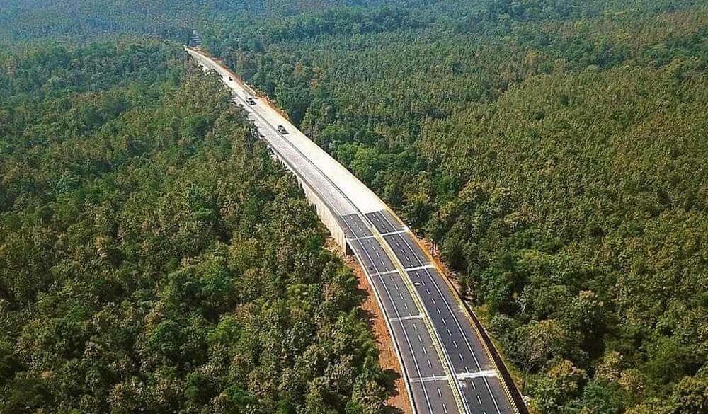
The most significant feature of this plan is the 34.5-kilometre elevated section. Instead of traffic moving at ground level through wildlife zones, vehicles will pass overhead, leaving open space below for animals to move freely.
Why Kaziranga’s Wildlife Needs an Open Path
Kaziranga National Park lies on the floodplains of the Brahmaputra River. These floods are not a disaster for the park; they are a natural process that keeps the ecosystem alive. Every year during the monsoon, large parts of Kaziranga go underwater. When this happens, animals move instinctively towards higher ground in the Karbi Anglong hills and return once the water level drops.
The problem is that the highway now cuts directly across this ancient migration route. As traffic has increased and vehicles have become faster, crossing the road has turned deadly for wildlife. From deer and reptiles to larger animals like wild buffalo and even leopards, many have been killed while trying to cross.
Speed restrictions, warning signs, and night-time traffic rules have been tried over the years. While helpful to some extent, they have not been enough to stop the rising number of wildlife deaths.
Understanding the Scale of the Roadkill Crisis
Traffic on NH-715 has grown steadily with Assam’s development. Average daily traffic on this stretch has crossed 13,000 passenger vehicles. During tourist seasons and festivals, the number is even higher.
A 2022 study by researchers from Gauhati University highlighted the seriousness of the issue. The study recorded more than 6,000 animal deaths on this road stretch between 2016 and 2017 alone. Nearly two-thirds of these deaths happened during the flood season, when animal movement is at its peak.
The study found that high vehicle speed was the main cause of these accidents. Researchers strongly suggested that permanent structural solutions were needed instead of temporary restrictions. The elevated corridor design directly follows this recommendation.
What the Elevated Corridor Is Meant to Achieve
The Kaziranga elevated corridor is designed to separate fast-moving traffic from wildlife movement. Heavy vehicles, buses, and cars will travel on the elevated road, while animals will be able to cross underneath without facing vehicles at all.
The project includes upgrading more than 30 kilometres of existing highway and building bypasses around towns such as Jakhalabandha and Bokakhat. These bypasses will also reduce congestion in populated areas.
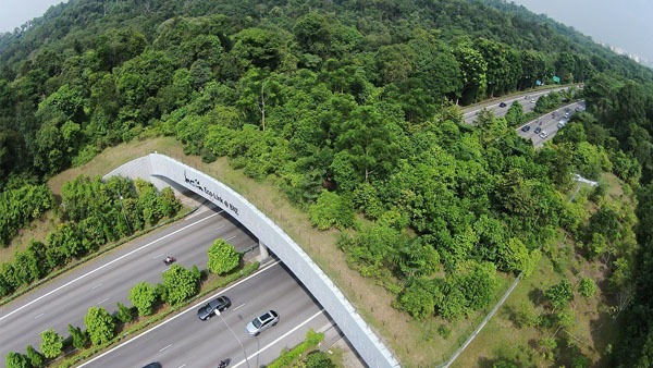
Forest officials believe that this design restores ecological connectivity between Kaziranga and the Karbi Anglong hills. Instead of forcing animals to risk their lives on a busy road, the corridor gives them uninterrupted access to traditional movement paths.
Kaziranga Elevated Corridor Explained: Construction Concerns
Large construction projects in sensitive landscapes always raise concerns, and Kaziranga is no exception. Environmental groups worry about noise, vibrations, and human activity disturbing animals during the building phase.
Forest authorities acknowledge these risks but say mitigation measures are in place. These include regulating construction timing, reducing night-time work, managing noise levels, and close monitoring by wildlife experts. The argument from officials is that short-term disturbance is unavoidable but manageable, while the long-term benefits could save countless animal lives.
Wildlife organisations such as the Wildlife Trust of India have supported the idea, calling it a structural and future-ready solution to a problem that has existed for decades.
Why This Project Has National Importance
The Kaziranga elevated corridor is being watched far beyond Assam. Across India, many highways pass close to forests, national parks, and wildlife corridors. As traffic volumes increase, conflicts between development and conservation are becoming more common.
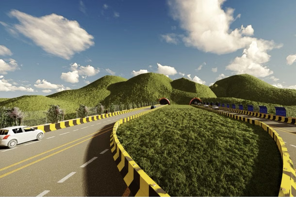
If this project succeeds, it could serve as a model for future infrastructure planning in sensitive areas. It shows that development does not always have to come at the cost of nature with thoughtful design, both can coexist.
For Kaziranga, the stakes are especially high. The park’s wildlife has always adapted to floods, seasonal changes, and natural challenges. What it struggles against today is human-made barriers. By lifting traffic above the ground and giving space back to animals, the elevated corridor aims to respect the natural logic of the landscape.
In a place where survival has always depended on movement rather than boundaries, the Kaziranga elevated corridor represents an attempt to let nature move freely once again, even as modern roads continue to connect people and places.