


NISAR Radar Imaging Shows Powerful Earth Observation Breakthrough

NISAR Radar Imaging is making headlines as new images released by NASA reveal how advanced radar technology can see through dense clouds. The images, captured by the NASA-ISRO Synthetic Aperture Radar (NISAR) satellite, focus on cloud-covered regions in North America, including Seattle, Portland, and Mount St. Helens.
Thank you for reading this post, don't forget to subscribe!About NISAR Radar Imaging Mission
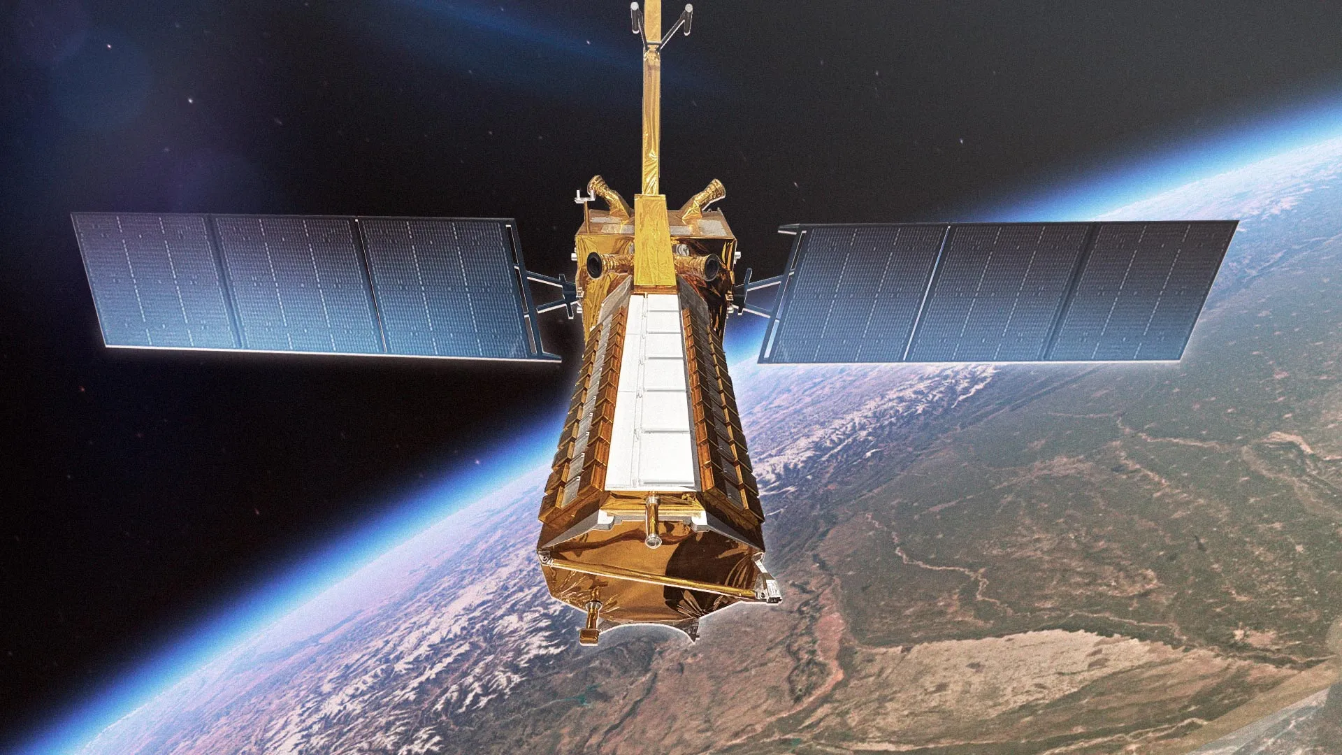
The NISAR mission is a joint effort between NASA and Indian Space Research Organisation. It is the first satellite to use dual-frequency synthetic aperture radar, developed with support from Jet Propulsion Laboratory and Space Applications Centre.
This advanced system allows NISAR Radar Imaging to capture clear and detailed data at any time, whether it is day or night, and even during bad weather.
Advanced Radar Technology
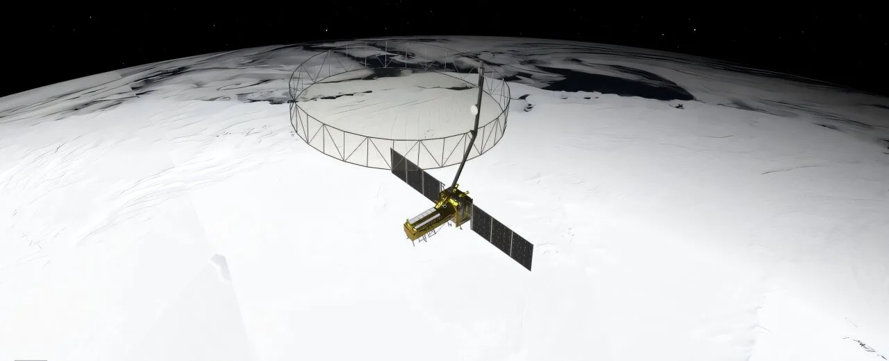
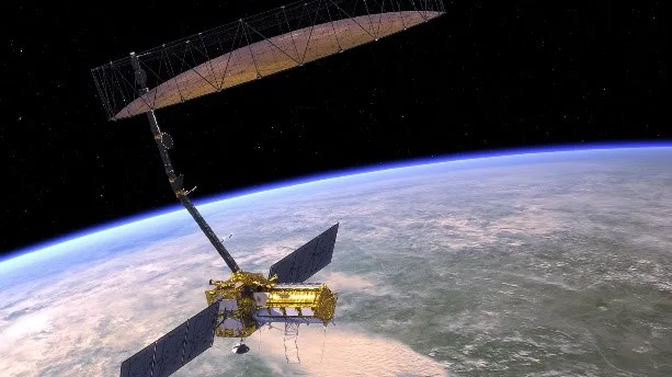
NISAR Radar Imaging uses a large 12-metre radar antenna to scan Earth’s surface. Unlike regular satellites that rely on light, this system uses radar signals. These signals can pass through clouds, smoke, and even thick vegetation.
This makes it highly useful for studying forests, coastlines, and volcanic regions where visibility is often poor.
Key Observations from North America
The latest NISAR Radar Imaging data clearly shows water bodies like the Columbia River near Portland and Seattle. It also captures detailed land features around Mount St. Helens, a region known for volcanic activity.
These images prove how effective the satellite is in tracking changes in landscapes, even in areas covered by clouds most of the time.
Role in Earth Monitoring
NISAR Radar Imaging will play an important role in monitoring climate change and natural disasters. It can help scientists track earthquakes, landslides, and volcanic eruptions with better accuracy.
The mission also supports global efforts in agriculture and environmental protection by providing reliable and regular data. This collaboration between NASA and ISRO highlights the growing importance of international partnerships in space research.