

Land and People of India: Geography, Rivers, Climate and Population

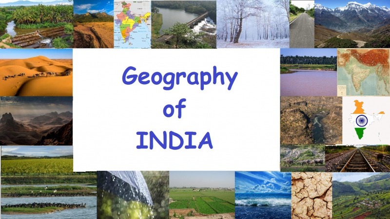
Land and People of India is an important topic to understand the geography and population of the country. India is the seventh largest country in the world and it has the largest population today.
Thank you for reading this post, don't forget to subscribe!India is located in South Asia. The country is surrounded by the Himalayan mountains in the north, the Bay of Bengal in the east, and the Arabian Sea in the west.
India lies completely in the Northern Hemisphere. The mainland extends between 8°4′ North to 37°6′ North latitude and 68°7′ East to 97°25′ East longitude.
India stretches about 3,214 km from north to south and 2,933 km from east to west.
Basic Facts About India
| Feature | Details |
|---|---|
| Area Rank | 7th largest country |
| Coastline | 7,516.6 km |
| Land Border | 15,200 km |
| States | 28 |
| Union Territories | 8 |
Geographical Location of India
India shares its borders with many countries.
| Neighboring Country | Direction |
|---|---|
| Pakistan | North-West |
| Afghanistan | North-West |
| China | North |
| Nepal | North |
| Bhutan | North-East |
| Bangladesh | East |
| Myanmar | East |
Sri Lanka lies to the south of India and is separated by a narrow sea channel called the Palk Strait.
Physical Features of India
The land of India can be divided into four major physical regions.
| Physical Region | Description |
|---|---|
| Great Mountain Zone | Himalayan mountain range |
| Northern Plains | Plains formed by major rivers |
| Desert Region | Dry desert areas |
| Southern Peninsula | Plateau region of India |
The Great Mountain Zone (Himalayas)
The Himalayas are the highest mountains in the world. They stretch for about 2,400 km.
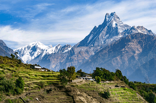
These mountains contain many famous valleys such as:
- Kashmir Valley
- Kullu Valley
Many of the world’s highest peaks are found here.
Travel through the Himalayas is possible only through mountain passes like:
- Nathu La
- Jelep La
- Shipki La
In the eastern part, the Himalayas become smaller hills such as:
- Garo Hills
- Khasi Hills
- Jaintia Hills
- Naga Hills
- Mizo Hills
The Northern Plains (Ganga–Indus Plains)
These plains are formed by the rivers:
- Indus
- Ganga
- Brahmaputra
The plains are about 2,400 km long and are among the largest fertile plains in the world.
This region is also one of the most populated areas on Earth because the soil is very fertile and good for farming.
The Desert Region
The desert region of India is mainly located in Rajasthan.
It is divided into two parts.
| Desert Type | Location |
|---|---|
| Great Desert | Rann of Kutch to Rajasthan border |
| Little Desert | Between Jaisalmer and Jodhpur |
These areas have sand dunes, rocky land, and very little rainfall.
The Southern Peninsula
The Peninsular Plateau forms the southern part of India.
Important mountain ranges here include:
- Aravali
- Vindhya
- Satpura
- Ajanta
- Maikala
The peninsula is surrounded by:
| Side | Mountain Range |
|---|---|
| West | Western Ghats |
| East | Eastern Ghats |
The Nilgiri Hills are located in the south where these mountain ranges meet.
Geological Structure of India
India can be divided into three geological regions.
| Region | Description |
|---|---|
| Extra-Peninsular Region | The Himalayan mountains |
| Indo-Gangetic Plains | Fertile plains formed by rivers |
| Peninsular Region | Ancient plateau region |
About 40–50 million years ago, the Indian plate collided with the Eurasian plate. This collision created the Himalayan Mountains.
Before this collision, the area was covered by an ancient sea called the Tethys Sea.
River Systems of India
The rivers of India are divided into four main groups.
| River Type | Description |
|---|---|
| Himalayan Rivers | Rivers from glaciers |
| Deccan Rivers | Rivers flowing through plateau |
| Coastal Rivers | Short rivers near coasts |
| Inland Rivers | Rivers that do not reach the sea |
Himalayan Rivers
Himalayan rivers originate from glaciers and snow, so they flow throughout the year.
Major river systems include:
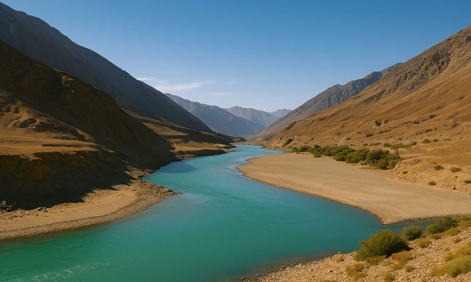
- Indus River System
- Ganga–Brahmaputra River System
Important tributaries of the Indus River include:
- Sutlej
- Beas
- Ravi
- Chenab
- Jhelum
The Ganga River is formed when Bhagirathi and Alaknanda rivers meet at Devprayag.
Important tributaries of the Ganga are:
- Yamuna
- Ghaghra
- Gandak
- Kosi
- Sone
The Brahmaputra River begins in Tibet as Tsangpo and enters India through Arunachal Pradesh.
Important tributaries of Brahmaputra include:
Puthimari
Subansiri
Manas
Dhansiri
Deccan Rivers
Most rivers in the Deccan Plateau flow eastward into the Bay of Bengal.
Important rivers include:
| River | Direction |
|---|---|
| Godavari | East |
| Krishna | East |
| Mahanadi | East |
| Narmada | West |
| Tapti | West |
The Godavari River is the second-largest river basin in India.
Climate of India
India’s climate is influenced by:
- The Himalayas
- The Thar Desert
- Surrounding oceans
India experiences four main seasons.
| Season | Months |
|---|---|
| Winter | January – February |
| Summer | March – May |
| Southwest Monsoon | June – September |
| Post-Monsoon | October – December |
Summer Season
During summer:
- Temperatures become very high.
- Dust storms called Andhis occur in north India.
- Strong storms called Kal Baisakhi occur in eastern India and Assam.
Temperatures can reach 43°C in some areas.
Monsoon Season
The Southwest Monsoon usually begins in Kerala around June 1.
Monsoon rains are very important for:
- Agriculture
- Water supply
- Rivers and lakes
Vegetation of India (Flora)
India has a large variety of plants and forests because of different climates and landforms.
Some important plant regions include:
| Region | Vegetation |
|---|---|
| Western Ghats | Evergreen forests |
| Indo-Gangetic Plains | Sal forests |
| Desert Region | Thorny plants |
| Assam Region | Bamboo forests |
The Botanical Survey of India (BSI) studies plant life in India.
More than 1,500 plant species in India are endangered.
Animals of India (Fauna)
India has a rich variety of wildlife.
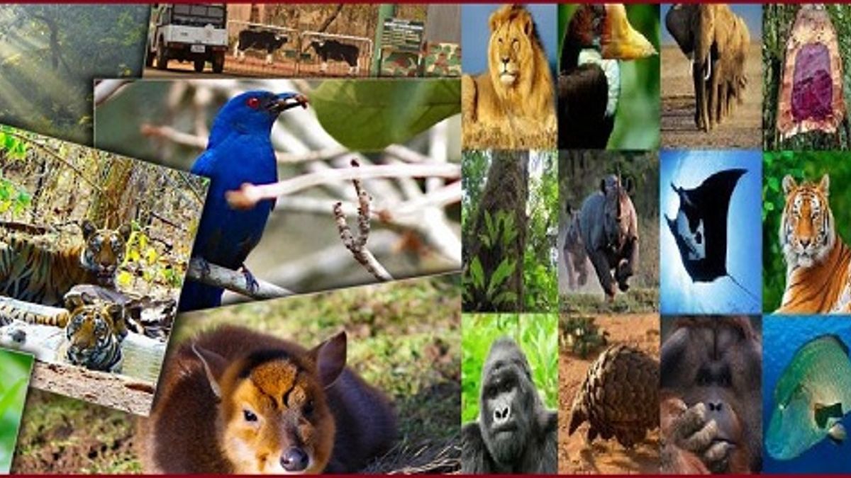
The Zoological Survey of India (ZSI) studies animals in the country.
Important facts:
| Feature | Data |
|---|---|
| Protected areas | 1,022 |
| Ramsar wetlands | 85 |
| Biosphere reserves | 18 |
India also shares four global biodiversity hotspots:
- Himalayas
- Indo-Burma
- Sundaland
- Western Ghats–Sri Lanka
Population of India
The 2011 Census recorded India’s population as:
| Category | Population |
|---|---|
| Total Population | 121.09 crore |
| Male | 62.33 crore |
| Female | 58.76 crore |
About 69% of people live in rural areas and 31% live in urban areas.
Population Density
Population density means the number of people living in one square kilometre.
In 2011, India’s population density was:
382 persons per sq km
Examples of high-density states:
| State | Density |
|---|---|
| Bihar | 1,106 |
| West Bengal | 1,028 |
| Kerala | 860 |
Literacy in India
A person aged 7 years or above who can read and write is considered literate.
In 2011:
| Category | Literacy Rate |
|---|---|
| Total | 73% |
| Male | 80.9% |
| Female | 64.6% |
Kerala has the highest literacy rate at 94%.
Migration in India
Migration means people moving from one place to another.
Reasons for migration include:
- Jobs
- Education
- Business
- Better living conditions
Around 28.9% of Indians are migrants.
Fertility and Mortality
Important population indicators include:
| Indicator | Value |
|---|---|
| Total Fertility Rate | 2.0 |
| Crude Birth Rate | 19.5 per 1,000 people |
| Crude Death Rate | 6 per 1,000 people |
| Infant Mortality Rate | 28 |
These numbers show that health conditions in India are improving.
Conclusion
India is a country with great geographical diversity and a large population. From the snow-covered Himalayas in the north to the coastal plains and plateaus in the south, the land of India is rich and varied. The country has many rivers, mountains, plains, deserts, and forests, which make its geography unique.
India also has a rich variety of plants, animals, and natural resources. Different regions have different climates, which influence agriculture, vegetation, and the lifestyle of people.
The people of India are also very diverse in terms of language, culture, traditions, and occupations. With a population of more than a billion people, India plays an important role in the world.
Understanding the land and people of India helps us learn how geography, climate, and natural resources affect the lives of people. It also shows why it is important to protect our environment and use resources wisely for future generations.
Frequently Asked Questions (FAQs)
1. Why is India called a land of diversity?
India is called a land of diversity because it has different languages, cultures, religions, climates, and landscapes across the country.
2. What are the four major physical regions of India?
The four major physical regions of India are:
- The Himalayan Mountains
- The Northern Plains
- The Desert Region
- The Southern Peninsula
3. Which are the major river systems in India?
The major river systems in India include:
- Indus River System
- Ganga–Brahmaputra River System
- Godavari River System
- Krishna River System
4. How many seasons does India have?
India mainly has four seasons:
- Winter
- Summer (Pre-Monsoon)
- Southwest Monsoon
- Post-Monsoon
5. What is population density?
Population density means the number of people living in one square kilometre of land.
6. Which state has the highest literacy rate in India?
Kerala has the highest literacy rate in India.
7. Why are the Northern Plains important?
The Northern Plains are important because the soil is very fertile, which makes the region suitable for agriculture and dense population.
8. What are the main causes of migration in India?
People migrate mainly because of:
- Job opportunities
- Education
- Business
- Better living conditions
9. Why are the Himalayas important for India?
The Himalayas protect India from cold winds from Central Asia and also help bring rainfall through the monsoon winds.
10. What makes India rich in biodiversity?
India has different climates, forests, mountains, and rivers, which support a wide variety of plants and animals.