



China Drone R&D Centre Established in Tibet

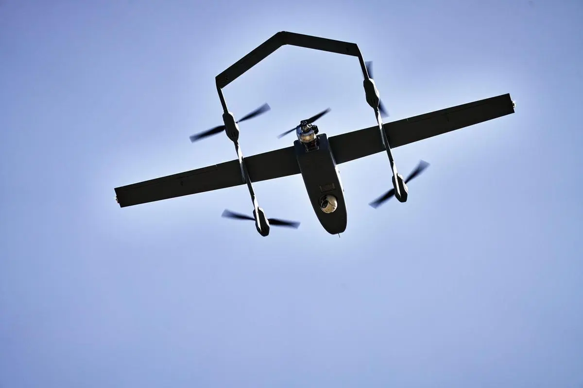
China Drone R&D Centre has become a major addition to the country’s aviation and technology sector with the establishment of new high-altitude drone research and testing facilities in Tibet. During 2025 and 2026, China developed a high-altitude drone testing base in Ngari and launched the Plateau Drone Research and Development Application Centre at Xizang University. These facilities are designed to test unmanned aerial vehicles (UAVs), commonly known as drones, under some of the world’s most challenging environmental conditions.
Thank you for reading this post, don't forget to subscribe!The new centres are located on the Tibetan Plateau, where extreme altitude, low oxygen levels, freezing temperatures, and difficult terrain provide an ideal environment for testing advanced drone technology.
Why Tibet Was Chosen
The Tibetan Plateau is one of the highest regions on Earth and is often called the “Roof of the World.”
Large parts of the plateau are located at elevations above 4,000 metres, making it one of the most demanding environments for aircraft and drone operations.
Testing drones at such high altitudes allows researchers to study how unmanned aircraft perform under conditions that include:
- Thin air
- Low oxygen levels
- Strong winds
- Freezing temperatures
- Rapid weather changes
- Mountainous terrain
These extreme conditions help engineers improve the reliability and efficiency of drones designed for difficult environments.
High-Altitude Drone Testing Base in Ngari
China inaugurated its High-Altitude Unmanned Equipment Testing Base in Ngari, western Tibet, on 28 September 2025.
The testing site is located at an elevation of more than 4,500 metres above sea level.
According to satellite imagery released later in 2025, the facility includes:
- A 720-metre runway
- Multiple aircraft hangars
- Testing infrastructure for unmanned aerial vehicles
The base allows researchers to conduct flight tests in conditions where reduced air density makes flying significantly more challenging.
The data collected during these tests can help improve future drone designs.

Plateau Drone Research Centre at Xizang University
Another important development came on 3 July 2026, when China launched the Plateau Drone Research and Development Application Centre at Xizang University.
The centre has been described as China’s first dedicated institution focused specifically on high-altitude drone research and practical applications.
Researchers at the centre are expected to study advanced drone technologies while developing solutions for operating UAVs in mountainous and high-altitude regions.
The facility also supports collaboration between universities, researchers, and technology companies working in the drone sector.
How High Altitude Affects Drones
Flying drones at high altitude presents several engineering challenges.
Because the air becomes thinner at higher elevations, drones experience:
- Reduced aerodynamic lift.
- Lower payload capacity.
- Reduced battery performance.
- Shorter flight endurance.
- Greater difficulty maintaining stable flight.
Engineers must design more efficient motors, lightweight materials, and advanced flight control systems to overcome these challenges.
Research carried out in Tibet can help improve drone performance in similar environments around the world.
Possible Applications of the Technology
According to official information, the research centres will support several civilian and operational uses of drone technology.
Possible applications include:
- Environmental monitoring.
- Infrastructure inspection.
- Scientific research.
- Logistics and transportation.
- Disaster response.
- Border area surveillance.
- Mapping and land surveys.
Modern drones are increasingly being used for both commercial and government purposes because they can quickly access areas that are difficult for people or vehicles to reach.
Part of China’s Long-Term Drone Strategy
The new facilities are linked to the Tibet Autonomous Region Low Altitude Economic Development Plan (2025-2030).
This policy aims to expand drone services and strengthen the region’s aviation technology sector.
Under the plan:
- Ngari will serve as a central drone testing and dispatch centre.
- A regional UAV service network is planned by 2030.
- Research institutions and industry will work together on advanced drone technologies.
The strategy reflects China’s growing investment in unmanned aviation and emerging aerospace technologies.
Growing Importance of Drone Technology
Drone technology has advanced rapidly over the past decade.
Today, UAVs are widely used in agriculture, disaster management, infrastructure inspection, environmental conservation, delivery services, photography, and scientific research.
Governments and private companies around the world are investing heavily in drone innovation to improve efficiency and develop new applications.
High-altitude research has become especially important because drones operating in mountainous regions, polar areas, and remote locations require stronger engineering and more reliable performance.
The establishment of the China Drone R&D Centre in Tibet highlights the country’s continued investment in advanced aviation research. By testing drones under some of the world’s toughest environmental conditions, researchers hope to develop technologies that can operate safely and efficiently in extreme climates while supporting future scientific, commercial, and infrastructure-related applications.