


Assam Geography GK: Rivers, National Parks, Hills & Districts

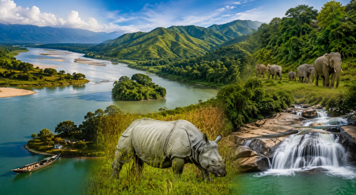
Assam a beautiful state in Northeast India, is known for its rich geographical diversity and natural beauty. From the mighty Brahmaputra and Barak rivers to lush green hills and dense forests, Assam offers a unique landscape that plays a vital role in its culture, economy, and biodiversity. The state is home to famous national parks like Kaziranga and Manas, which are known worldwide for their wildlife, especially the one-horned rhinoceros.
Rivers of Assam
Assam has more than 50 rivers. These rivers come from Tibet, Bhutan, Arunachal Pradesh, Nagaland, Manipur, and Meghalaya. The two main river systems are:

- Brahmaputra River System (North and Central Assam)
- Barak River System (South Assam)
The Brahmaputra River -The Mighty Luit
The Brahmaputra is the most important river of Assam.
Origin and Names
- Origin: Chemayungdung glacier in Tibet
- Tibet: Tsangpo
- Arunachal Pradesh: Siang / Dihang
- Assam: Brahmaputra / Luit
- Bangladesh: Jamuna
Key Facts
- Total length: 2,900 km
- Length in Assam: 720 km
- Flows east to west in Assam
- Only major river in India with a male name
Important Features
- Majuli: World’s largest river island
- Umananda Island: Smallest river island near Guwahati
- Very wide river (up to 18 km during floods)
Tributaries
North Bank Rivers:
- Subansiri (largest tributary)
- Manas
- Jia Bharali
- Sankosh
South Bank Rivers:
- Kopili
- Dhansiri
- Dihing
- Kulsi
The Barak River
The Barak River is the second largest river system in Assam.
Key Facts
- Origin: Nagaland-Manipur hills
- Length: 564 km
- Length in Assam: 221 km
- Flows through: Cachar, Hailakandi, Karimganj
Important Point
- Splits into Surma and Kushiyara in Bangladesh
- Called lifeline of Barak Valley
Tributaries
- Sonai
- Katakhal
- Jiri
- Longai
Important Rivers for Exams
- Subansiri: Largest tributary of Brahmaputra
- Manas: UNESCO site river
- Kopili: Hydel project river
- Dhansiri: Important for irrigation
- Dihing: Flows through Dibru-Saikhowa
National Parks of Assam
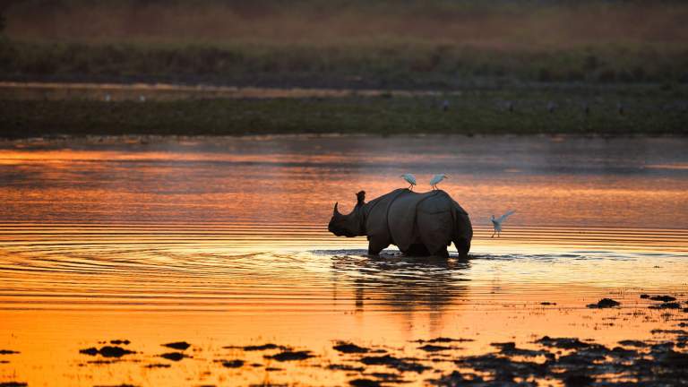
1. Kaziranga National Park
- Famous for one-horned rhinoceros
- Located on Brahmaputra south bank
- UNESCO World Heritage Site
2. Manas National Park
- Located in western Assam
- UNESCO World Heritage Site
- Famous for tiger, elephant
3. Dibru-Saikhowa National Park
- Located in Tinsukia
- Famous for birds and wetlands
4. Nameri National Park
- Located in Sonitpur
- Famous for rafting and birds
5. Orang National Park
- Known as mini Kaziranga
- Located on north bank of Brahmaputra
6. Dehing Patkai National Park
- Called “Amazon of the East”
- Dense rainforest area
7. Raimona National Park
- New national park
- Located in Kokrajhar
8. Sikhna Jwhwlao National Park
- New national Park
- Located in Kokrajhar & Chirang district
Hills and Plateaus of Assam
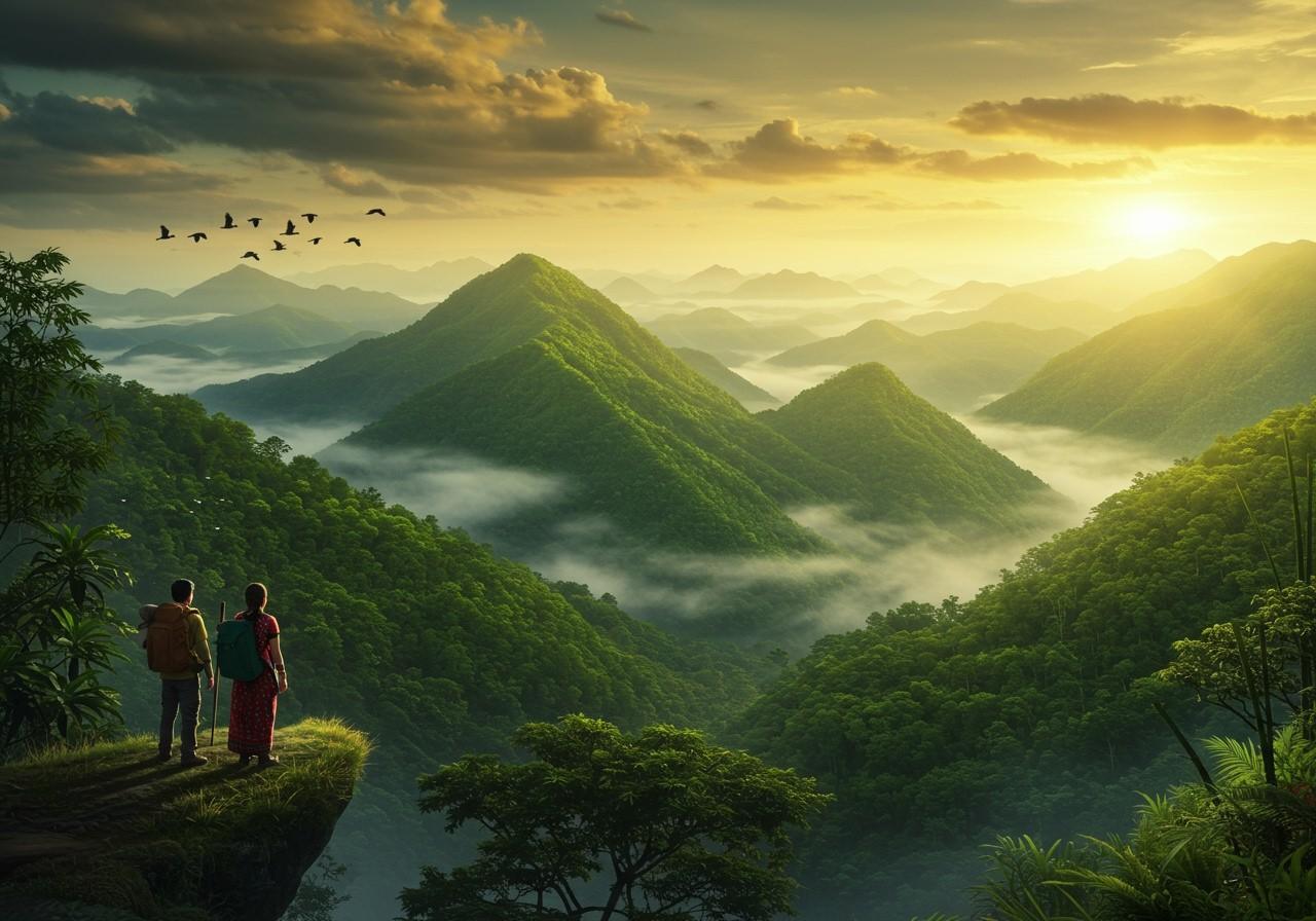
Assam is not only plains, it also has hills.
Major Hills
- Karbi Anglong Hills
- Dima Hasao (North Cachar Hills)
- Barail Range
- Patkai Hills
Important Point
- Barail Hills divide Brahmaputra and Barak valleys
- Hills are rich in forests and minerals
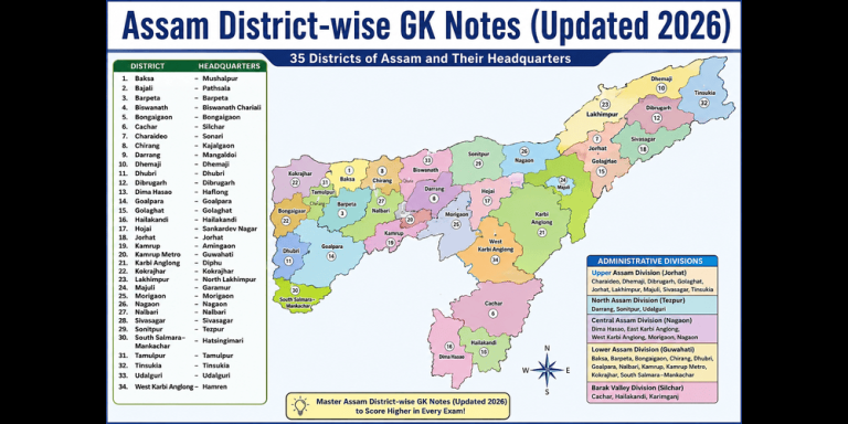
Districts of Assam
Assam has 35 districts (latest updates may change).
Divisions of Assam
- Upper Assam: Dibrugarh, Tinsukia, Jorhat
- Lower Assam: Barpeta, Nalbari
- Central Assam: Nagaon, Morigaon
- Barak Valley: Cachar, Hailakandi, Karimganj
Important District Facts
- Majuli: River island district
- Dibrugarh: Tea city
- Guwahati (Kamrup Metro): Largest city
Environment and Floods
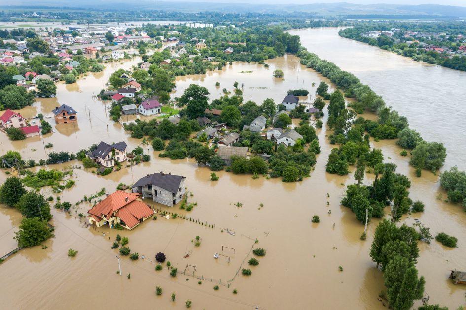
Assam faces floods every year due to rivers.
Key Points
- 40% land is flood-prone
- Brahmaputra carries heavy silt
- Majuli is shrinking due to erosion
- Floods affect crops and people
Important Bridges
- Saraighat Bridge: First bridge (1963)
- Bogibeel Bridge: Longest rail-road bridge
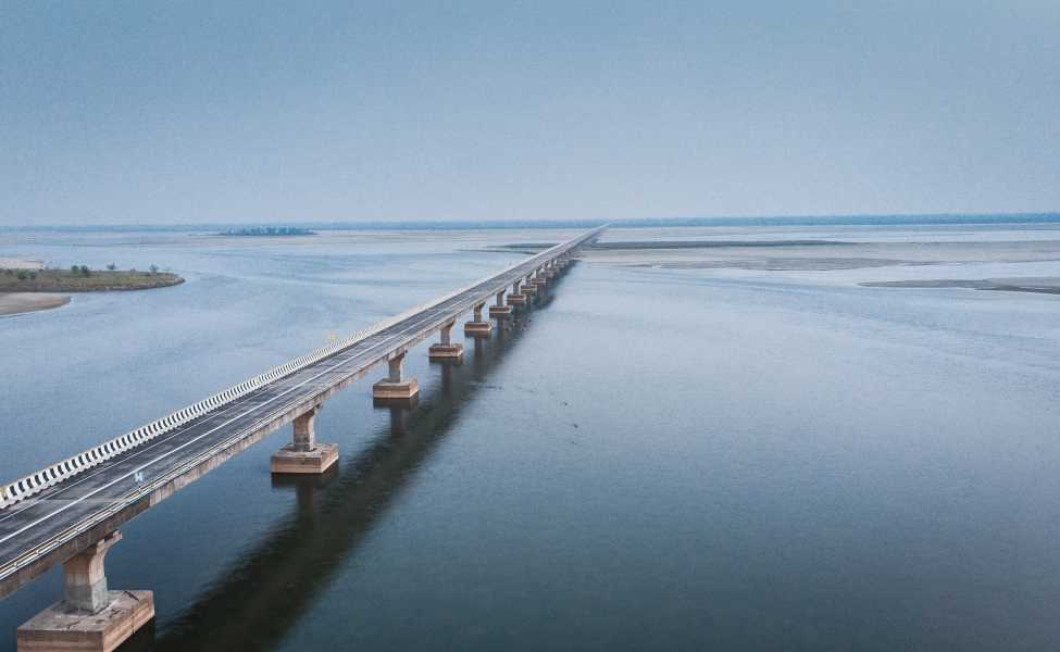
- Dhola-Sadiya Bridge: Longest road bridge in India
Assam’s geography is not only fascinating but also essential for understanding the state’s identity and significance. Its powerful rivers, diverse wildlife, scenic hills, and administrative divisions together shape the life and livelihood of its people. By learning these key geographical features, you can strengthen your general knowledge and improve your performance in exams.
FAQs
Q1. Which is the longest river in Assam?
Brahmaputra River.
Q2. Where does the Brahmaputra River originate?
From the Chemayungdung glacier in Tibet.
Q3. What is the Brahmaputra called in Tibet?
Tsangpo or Yarlung Tsangpo.
Q4. What is the Brahmaputra called in Arunachal Pradesh?
Siang or Dihang.
Q5. Which is the second largest river system in Assam?
Barak River.
Q6. Which districts are covered by the Barak River?
Cachar, Hailakandi, and Karimganj.
Q7. What happens to the Barak River in Bangladesh?
It splits into Surma and Kushiyara.
Q8. Which is the largest tributary of the Brahmaputra?
Subansiri River.
Q9. Which river flows through Manas National Park?
Manas River.
Q10. Which river is famous for the Kopili Hydel Project?
Kopili River.
Q11. Which river flows through Dibru-Saikhowa National Park?
Dihing (Dehing) River.
Q12. Which is the largest river island in the world?
Majuli Island.
Q13. How many national parks are there in Assam?
7 National Parks.
Q14. Which national park is famous for one-horned rhinoceros?
Kaziranga National Park.
Q15. Which national park is a UNESCO World Heritage Site in Assam?
Kaziranga and Manas National Parks.
Q16. Which national park is known as the “Amazon of the East”?
Dehing Patkai National Park.
Q17. Which hills divide Brahmaputra and Barak valleys?
Barail Hills.
Q18. Name two major hill regions of Assam.
Karbi Anglong Hills and Dima Hasao Hills.
Q19. Which is the longest bridge in Assam?
Dhola-Sadiya Bridge (Bhupen Hazarika Setu).
Q20. Why does Assam face floods every year?
Due to heavy rainfall and overflow of the Brahmaputra and its tributaries.