


ESA Celeste Satellite Launch Advances Europe’s Navigation Future

ESA Celeste Satellite Launch marks a major step forward as the European Space Agency successfully launched two new satellites to strengthen its navigation systems. This mission highlights Europe’s growing capability in space technology and innovation.
Thank you for reading this post, don't forget to subscribe!ESA Celeste Satellite Launch and Mission Details
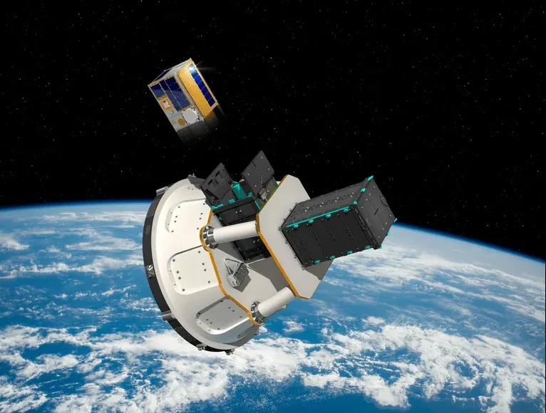
The first two satellites, Celeste IOD-1 and IOD-2, were launched on 28 March using the Rocket Lab Electron rocket from New Zealand. About one hour after launch, the satellites safely separated and entered orbit.
These satellites were developed by GMV and Thales Alenia Space. They are now in their early operational stage, where experts are preparing them for full performance in space.
Supporting the Galileo Navigation System
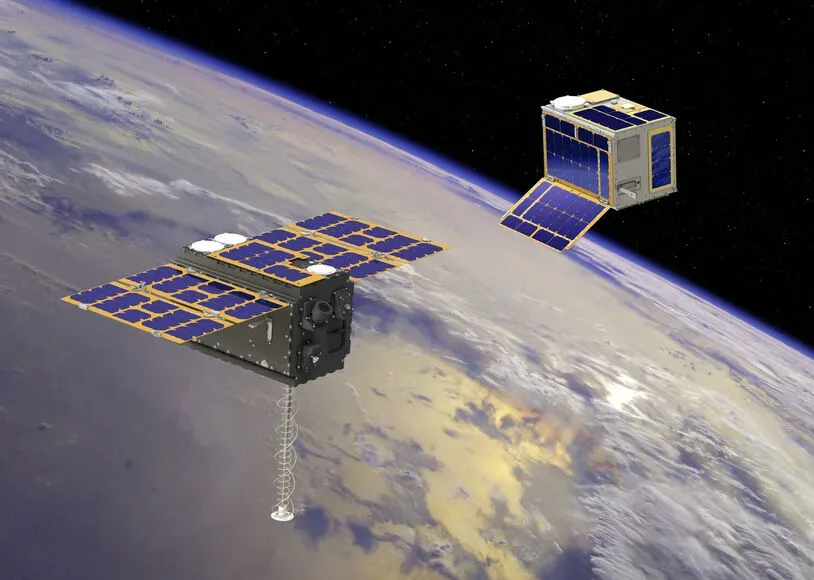
The ESA Celeste Satellite Launch aims to support the Galileo system. While Galileo satellites operate in medium Earth orbit, Celeste satellites work in low Earth orbit (LEO), which is much closer to Earth.
Because of this lower position, Celeste satellites can provide stronger signals, better accuracy, and improved reliability. This will help Europe build a more secure and advanced navigation system.
New Technology and Frequency Use
The mission is designed to test new technologies and services. The satellites use L-band and S-band frequencies, which are important for satellite communication and navigation.
The project also follows a “New Space” approach, which allows faster development and flexible deployment of satellites. This approach helps Europe stay competitive in global space innovation.
Future Expansion and Uses
The ESA plans to expand the Celeste mission by adding more satellites. By 2027, the system is expected to include around 11 satellites, forming a complete constellation.
This system will support many real-world applications such as autonomous vehicles, aviation, maritime navigation, disaster management, and Internet-of-Things services. It will also strengthen Europe’s independence in positioning and timing technologies.