

UN Map Row: India Objects to Arunachal and Aksai Chin Depiction

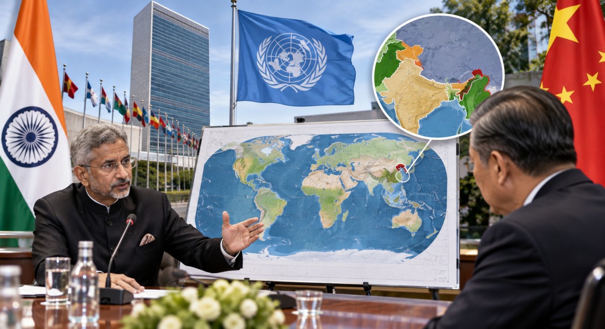
UN Map Row has become a fresh point of discussion between India and the United Nations after a world map released through the UN Geospatial system showed Arunachal Pradesh and Aksai Chin between Indian and Chinese claim lines. India has objected to the depiction and said its position on its territorial boundaries remains unchanged. The map was published on July 1, 2026, during discussions linked to the UN General Assembly’s “Correct the Map” resolution.
Thank you for reading this post, don't forget to subscribe!Why India Objected to the UN Map
The latest UN Map Row is linked to the way disputed areas along the India-China boundary have been shown. Reports on the map say Arunachal Pradesh and Aksai Chin appear between separate Indian and Chinese claim lines. India considers Arunachal Pradesh an integral part of the country and considers Aksai Chin part of the Union Territory of Ladakh.
The Ministry of External Affairs has made clear that India’s support for the UN resolution on map projections should not be treated as approval of any particular map or territorial depiction. India has said that its sovereign territory, including Jammu and Kashmir and Ladakh, should be represented according to its official map.
India Supported the “Correct the Map” Resolution
The issue has attracted attention because India voted in favour of the UN General Assembly’s “Correct the Map” resolution on September 4, 2026. The resolution was mainly focused on improving the way the relative sizes of continents are represented on world maps.
The resolution was adopted by 164 votes in favour, one against and six abstentions. It encourages the use of equal-area projections, including Equal Earth, when the purpose is to show the relative size of landmasses more accurately. The resolution itself does not change international borders or settle territorial disputes.
India explained during the UN debate that its support was for the broader principle of equal-area mapping. It did not mean that India was endorsing Equal Earth as the only suitable projection or accepting any particular depiction of national boundaries.
What Is the Equal Earth Projection?
The Equal Earth projection is a world map method designed to preserve the relative areas of landmasses more accurately. It was introduced in 2018 and has gained attention during the UN’s recent discussion on global cartography.
The debate behind the “Correct the Map” resolution mainly concerns distortions created when the curved surface of Earth is displayed on a flat map. The UN resolution encourages more accurate representation of continental sizes but does not require every map to use one particular projection.
This distinction is important in the current UN Map Row. A map projection and the political depiction of borders are separate issues. Changing the projection does not itself decide sovereignty over disputed territory.
India-China Boundary Dispute
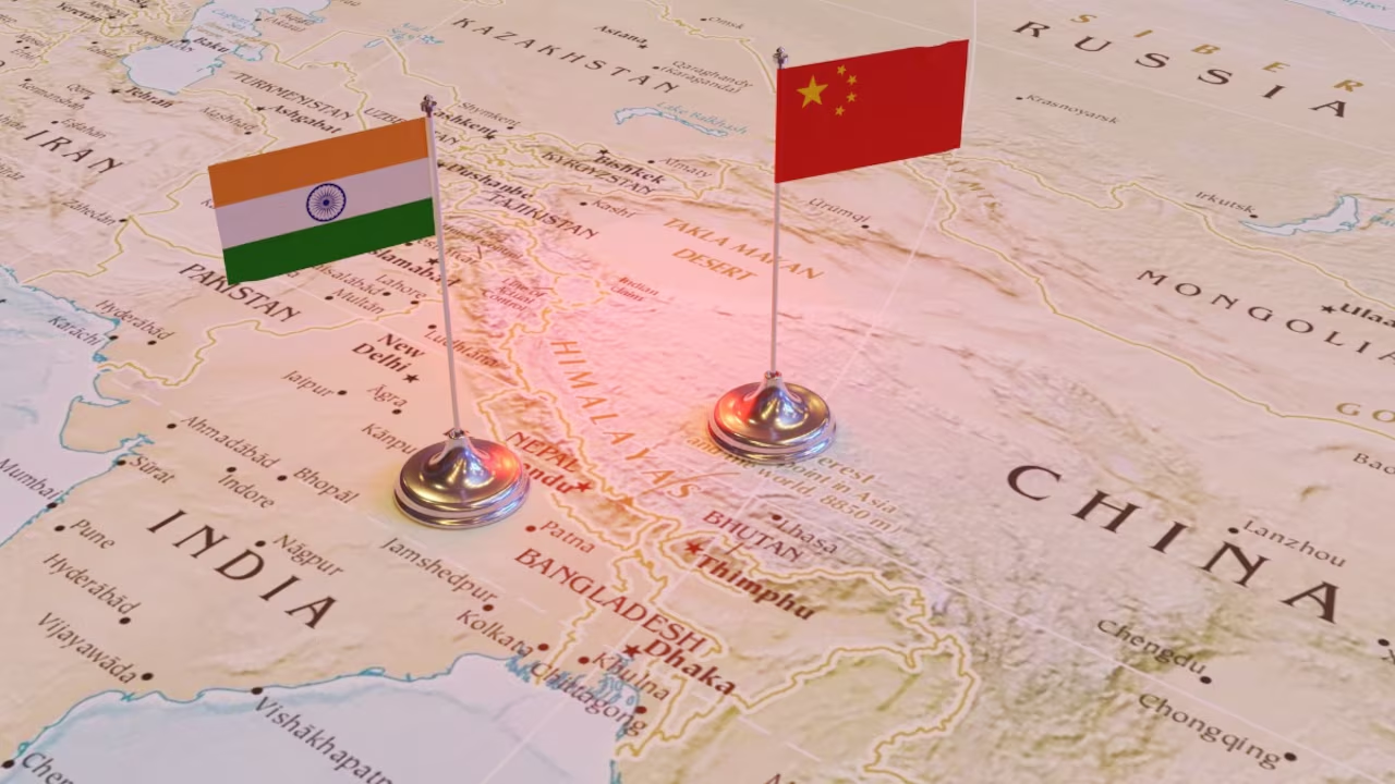
Arunachal Pradesh and Aksai Chin are part of the long-running India-China boundary dispute. Arunachal Pradesh is located in northeastern India and forms part of the eastern sector of the disputed boundary. China claims the region and refers to it as part of what it calls “Zangnan”.
Aksai Chin lies in the western sector of the boundary dispute. India claims the area as part of Ladakh, while it is under Chinese control.
The two countries have continued diplomatic and military discussions over the boundary issue. The dispute has remained an important part of India-China relations, particularly after tensions along the Line of Actual Control in recent years.
UN Says Mapping Does Not Decide Borders
The recent discussion also highlights the difference between a cartographic representation and a legal decision on sovereignty. The UN’s own mapping system describes its work as providing geospatial information and authoritative boundary data.
During the General Assembly debate on the “Correct the Map” resolution, several countries specifically clarified that the resolution should not be interpreted as changing sovereignty, territorial status or internationally recognised borders. The European Union and other delegations stressed that the initiative was focused on cartographic representation rather than territorial claims.
This means the new map has political significance for India, but the resolution itself does not legally settle the India-China boundary dispute.
UN Map Row Comes After Global Mapping Debate
The UN Map Row has emerged shortly after a wider international discussion about how the world is represented on maps. The “Correct the Map” initiative was led by Togo with support from the African Union and focused strongly on reducing distortions in the representation of Africa.
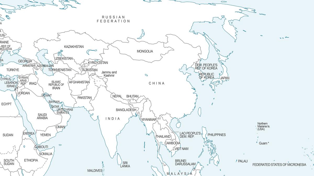
The UN General Assembly resolution encourages governments, educational institutions and other organisations to consider equal-area maps where relative land size is important. At the same time, the resolution recognises that different map projections serve different purposes.
India’s position reflects this distinction. New Delhi has supported the broader use of accurate equal-area mapping while separately objecting to representations of its disputed territories that do not match India’s official position.
India-China Relations Remain in Focus
The latest dispute over the UN map comes as India and China continue to manage a sensitive relationship involving border issues, trade, security and regional cooperation. Any international map showing disputed areas can attract attention because maps are frequently used by governments, international organisations and institutions as geographical references.
For India, the latest issue is therefore not about rejecting equal-area mapping itself. The government has separated its support for more accurate cartographic methods from its position on how Indian territory should be shown.
The UN map discussion has also renewed attention on the importance of clearly distinguishing between a map projection, a political boundary and a territorial claim when international maps are used.