



Pakistan Satellite Network Expansion 2026

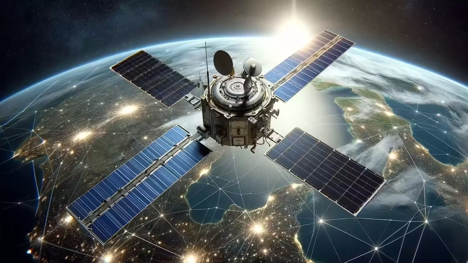
Pakistan Satellite Network has seen major growth between 2025 and 2026, with the country launching multiple Earth-observation satellites. This expansion shows Pakistan’s increasing interest in space technology and its role in development and planning.
Thank you for reading this post, don't forget to subscribe!The satellites were developed and launched with the support of the national space agency, SUPARCO. These missions are part of a broader effort to improve data collection and monitoring from space.
What Are Earth-Observation Satellites
Earth-observation satellites are used to study the planet from space. They collect images and data related to land, water, weather, and human activity.
These satellites are useful for many purposes such as farming, disaster management, environmental protection, and city planning. With better satellite data, governments can make more informed decisions.
Pakistan’s recent launches include satellites designed for imaging and monitoring, which can be used for both civilian and strategic purposes.
Recent Satellite Launches
Between early 2025 and mid-2026, Pakistan launched six new satellites. These include PAUSAT-1, PRSC-EO1, PRSS-2, HS-1, PRSC-EO2, and PRSC-EO3.
Each satellite has a specific role, such as capturing high-resolution images or collecting environmental data. These additions have strengthened Pakistan’s ability to monitor its land and surrounding regions.
The expansion reflects a growing trend where countries are investing in space-based technologies to improve national capabilities.
Launch Locations and Orbit Design
Most of these satellites were launched from China using advanced launch vehicles. For example, PRSC-EO3 was sent into space using a Long March rocket from the Taiyuan Satellite Launch Centre.
The satellite follows a special orbit that allows it to pass over South Asia more frequently. This helps in collecting updated data at shorter intervals.
Another important launch was HS-1, which was sent from the Jiuquan Satellite Launch Centre. It marked a key milestone as Pakistan’s first hyperspectral satellite.
Pakistan Satellite Network Expansion 2026 highlights the country’s growing space capabilities with new Earth-observation satellites for monitoring, agriculture, and development planning.
Advanced Technology in New Satellites
The new satellites come with modern features that improve their performance. One of the key technologies used is hyperspectral imaging. This method captures detailed data across many wavelengths, helping in better analysis of crops, soil, and water.
Artificial intelligence is also being used to process images quickly and accurately. This reduces the time needed to analyze large amounts of data.
Some satellites also include multi-angle imaging systems, which allow them to capture images from different directions. This improves accuracy and detail in observations.
Cooperation Between Pakistan and China
A major part of this satellite expansion has been supported by cooperation with China. Many of the satellites were either built with Chinese assistance or launched using Chinese rockets.
China’s Long March rockets have been widely used for these missions. The partnership highlights strong cooperation in space technology between the two countries.
This collaboration has helped Pakistan speed up its space program and access advanced launch facilities.
Practical Uses of Satellite Network
The expanded satellite network is expected to support several important sectors. In agriculture, satellites can help farmers monitor crop health and improve yields.
In disaster management, satellite data can be used to track floods, storms, and other natural events. This helps authorities respond quickly and reduce damage.
Urban planning is another area where satellite data is useful. It can help in mapping cities, managing traffic, and planning infrastructure projects.
The network is also linked to large development projects, including infrastructure and connectivity initiatives.
Growing Importance of Space Technology
Space technology is becoming more important in today’s world. Countries are investing in satellites to improve communication, security, and development planning.
Pakistan’s growing satellite network shows how space is now a key area of focus. With more launches expected in the future, the role of satellites in daily life is likely to increase.
As technology continues to improve, satellite systems will play an even bigger role in shaping how countries manage resources and plan for the future.