


Disputed Territories of India: Border Conflicts and Territorial Claims

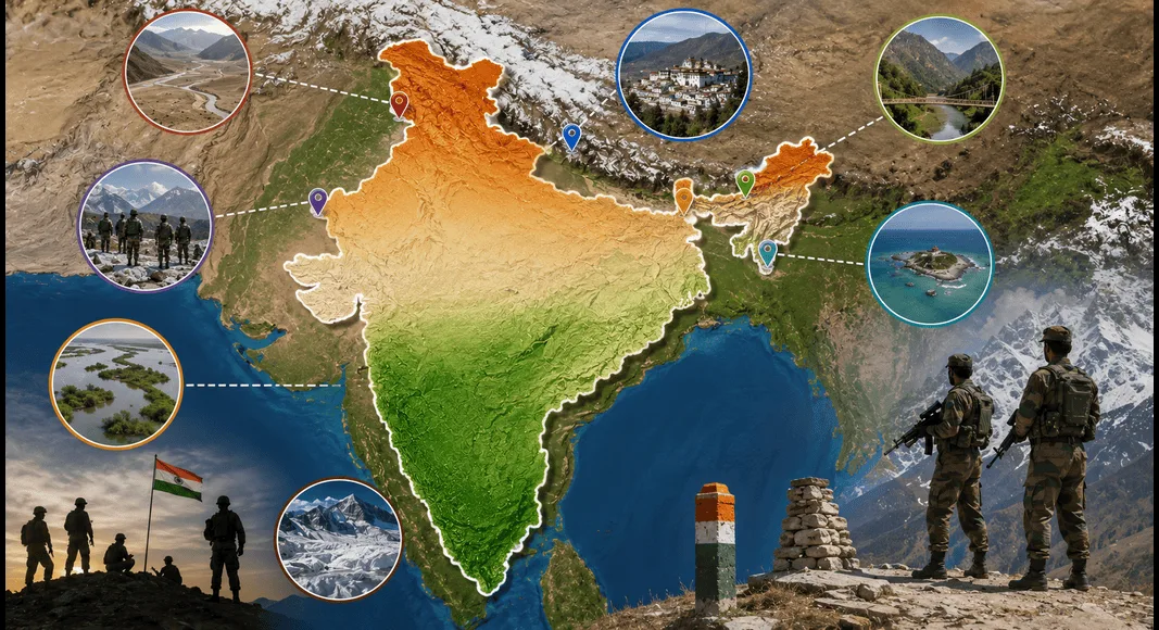
Disputed Territories of India are areas where India and one or more neighboring countries have different claims over land, borders, or maritime regions. Border disputes are among the most important topics in India’s foreign policy because they directly affect national security, diplomacy, trade, and relations with neighboring countries.
Thank you for reading this post, don't forget to subscribe!India shares land borders with several countries including China, Pakistan, Nepal, Bangladesh, Myanmar, Bhutan, and Afghanistan (through the Union Territory of Ladakh). India has a total land border of about 15,106.7 kilometers and a coastline of approximately 7,516.6 kilometers, including island territories.
Many of India’s border disputes originated during the colonial period when boundaries were not clearly marked. Different interpretations of old treaties, historical claims, and geographical changes have further complicated these disputes.
Understanding the disputed territories of India helps us understand India’s relations with its neighbors and the challenges faced in maintaining peace and security along its borders.
Major Border Disputes of India
India has border-related disputes mainly with China, Pakistan, and Nepal. There have also been minor disagreements with some other neighboring countries.
India-China Border Disputes
India and China share one of the world’s longest disputed borders. The border stretches across the Union Territory of Ladakh and the states of Himachal Pradesh, Uttarakhand, Sikkim, and Arunachal Pradesh.
The India-China border is generally divided into three sectors:
- Western Sector
- Middle Sector
- Eastern Sector
Western Sector: Aksai Chin Dispute
The Western Sector lies between Ladakh and China’s Xinjiang region.
This is the most significant area of dispute between India and China.
What is Aksai Chin?
Aksai Chin is a high-altitude desert region located in the eastern part of Ladakh.
- India considers Aksai Chin as part of Ladakh.
- China claims it as part of Xinjiang and Tibet.
Historical Background
During British rule, different boundary lines were proposed:
Johnson Line (1865)
According to this line:
- Aksai Chin belonged to Jammu and Kashmir.
- India considers this line as the legitimate boundary.
MacDonald Line (1893)
According to this line:
- Aksai Chin was placed under Chinese control.
- China supports this boundary.
Because the British never finalized a permanent border, both countries developed different interpretations.
Present Situation
China currently controls Aksai Chin.
The area remains one of the most sensitive points in India-China relations.
Line of Actual Control (LAC)
The Line of Actual Control is the current military boundary between India and China.
It is not an officially recognized international border but serves as the practical dividing line between the armed forces of the two countries.
The lack of a mutually accepted border often leads to tensions and military standoffs.
Middle Sector
The Middle Sector extends from Ladakh to Nepal along the Himalayan watershed.
It includes:
Compared to other sectors, this region has fewer disputes.
Both India and China generally agree on most parts of the boundary, although minor differences still exist.
Eastern Sector: Arunachal Pradesh Dispute
The Eastern Sector extends from Bhutan to the India-Myanmar border.
McMahon Line
The border in this region is known as the McMahon Line.
It was drawn during the Shimla Convention of 1914 between British India and Tibet.
India’s Position
India considers the McMahon Line as the legal international boundary.
China’s Position
China rejects the McMahon Line and claims that Tibet did not have the authority to sign the agreement independently.
Arunachal Pradesh Issue
China claims a large part of Arunachal Pradesh, particularly the Tawang region.
India strongly rejects these claims and considers Arunachal Pradesh an integral part of the country.
The dispute over Arunachal Pradesh remains a major obstacle in India-China relations.
India-Pakistan Border Disputes
India and Pakistan have had border disputes since the partition of 1947.
Most of these disputes are related to the former princely state of Jammu and Kashmir.
Pakistan-Occupied Kashmir (PoK)
Pakistan controls a significant portion of the territory that India considers part of Jammu and Kashmir.
This region is known in India as Pakistan-Occupied Kashmir (PoK).
India maintains that:
- PoK is an integral part of India.
- Pakistan’s control is illegal.
The issue remains one of the biggest disputes between the two countries.
Gilgit-Baltistan
Gilgit-Baltistan is located in the northern part of the Kashmir region.
India considers it part of the Union Territory of Ladakh.
Pakistan administers the area and treats it as a separate region.
The strategic importance of Gilgit-Baltistan has increased due to projects such as the China-Pakistan Economic Corridor (CPEC).
Shaksgam Valley
In 1963, Pakistan signed a boundary agreement with China.
Under this agreement:
- Pakistan transferred approximately 5,180 square kilometers of territory in the Shaksgam Valley to China.
India strongly opposes this agreement because it considers the territory part of Jammu and Kashmir.
Siachen Glacier
The Siachen Glacier is one of the highest battlefields in the world.
It lies in the eastern Karakoram range.
Importance
The glacier has great strategic importance because it overlooks key mountain passes and routes.
Operation Meghdoot
In 1984, India launched Operation Meghdoot and gained control over important positions in the region.
Since then:
- India controls most of the glacier.
- Pakistan disputes India’s control.
The harsh weather makes the region one of the most difficult military zones in the world.
Saltoro Ridge
The Saltoro Ridge is located west of the Siachen Glacier.
The ridge includes important mountain peaks and passes.
Control over Saltoro Ridge provides military advantage in the region.
India currently controls the major heights of the ridge.
Pakistan continues to contest India’s position.
Sir Creek Dispute
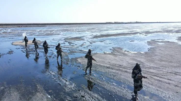
Sir Creek is a narrow water channel located in the Rann of Kutch region.
Why is it Disputed?
India and Pakistan interpret a 1914 agreement differently.
- Pakistan claims the boundary lies along the eastern bank.
- India argues that the boundary should run through the middle of the channel.
Importance of Sir Creek
The dispute affects:
- Maritime boundaries
- Fishing rights
- Access to offshore resources
Although the area itself is small, it has significant strategic and economic value.
India-Nepal Border Disputes
India and Nepal share a long and traditionally friendly relationship.
However, some border disputes remain unresolved.
Kalapani Dispute
Kalapani is located near the India-Nepal-China tri-junction.
Origin of the Dispute
The dispute originates from the Treaty of Sugauli signed in 1816.
The treaty defined the Kali River as the western boundary of Nepal.
The disagreement arises because:
- India and Nepal identify different sources of the Kali River.
- Different interpretations create different border claims.
India’s Position
India administers Kalapani as part of Uttarakhand.
Nepal’s Position
Nepal claims Kalapani as part of its territory.
Lipulekh Pass
Lipulekh Pass is closely connected with the Kalapani dispute.
It is an important trade route and pilgrimage route to Kailash Mansarovar.
The road development and strategic importance of the pass have made the issue more sensitive in recent years.
Susta Dispute
Susta is another disputed area between India and Nepal.
Cause of the Dispute
The dispute arose because the Gandak River changed its course over time.
Since rivers are often used as natural boundaries, changes in their course can create disagreements about ownership of land.
Both countries continue to discuss the issue through diplomatic channels.
India-Sri Lanka Maritime Issue
India and Sri Lanka share maritime boundaries in the Palk Strait.
Kachchatheevu Island
Kachchatheevu is a small island located in the Palk Strait.
Historical Development
In 1974, India recognized Sri Lanka’s sovereignty over the island through a maritime agreement.
Why is it Important?
The island is significant because:
- Fishermen from both countries traditionally used it.
- Religious activities take place there.
- Fishing rights remain a matter of concern.
Although the ownership issue was officially settled, discussions about fishing rights continue.
India-Bangladesh Border Settlement
India and Bangladesh once had complex border disputes involving enclaves and adverse possessions.
Land Boundary Agreement (LBA)
A major breakthrough came through the Land Boundary Agreement.
The agreement:
- Resolved long-pending border disputes.
- Exchanged enclaves.
- Simplified border management.
- Improved bilateral relations.
The successful implementation of the agreement is considered one of the most important achievements in India’s neighborhood diplomacy.
India-Myanmar Boundary
India and Myanmar generally enjoy peaceful border relations.
There is no major territorial dispute between the two countries.
However:
- Certain boundary sections still require formal demarcation.
- Border management remains important due to security and migration concerns.
Overall, India-Myanmar border issues are much less serious compared to India’s disputes with China or Pakistan.
Impact of Border Disputes on India
Border disputes affect India in many ways.
National Security
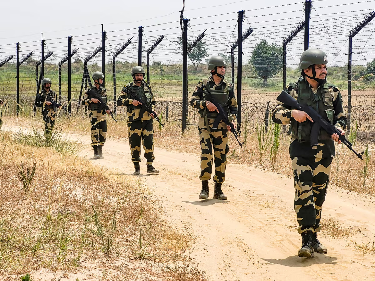
Disputed borders require continuous military deployment and vigilance.
Economic Costs
Maintaining troops and infrastructure in difficult terrain requires large financial resources.
Diplomatic Challenges
Border issues often influence relations with neighboring countries.
Development Challenges
Remote border areas sometimes face slower development due to security concerns.
Strategic Importance
Control of border regions can influence trade routes, military positioning, and regional influence.
Efforts to Resolve Border Disputes
India follows several approaches to address border disputes.
Diplomatic Dialogue
Regular talks are held with neighboring countries to reduce tensions.
Confidence-Building Measures
Military hotlines, border meetings, and agreements help prevent misunderstandings.
Border Infrastructure Development
India has increased investment in roads, bridges, tunnels, and communication networks in border areas.
International Law and Agreements
India supports peaceful resolution through negotiations and mutually accepted agreements.
Regional Cooperation
Improving trade, cultural exchanges, and economic partnerships can create a positive environment for dispute resolution.
Conclusion
Disputed Territories of India remain an important aspect of the country’s foreign policy and national security. Most of these disputes have historical roots dating back to colonial times, unclear boundary demarcations, and differing interpretations of treaties.
The major disputes involve China, Pakistan, and Nepal, while issues with Bangladesh have largely been resolved through diplomatic efforts. Areas such as Aksai Chin, Arunachal Pradesh, Pakistan-Occupied Kashmir, Siachen Glacier, Sir Creek, Kalapani, and Susta continue to attract attention due to their strategic significance.
India’s approach has generally focused on peaceful negotiations, diplomatic engagement, and strengthening border infrastructure. Resolving border disputes requires patience, mutual trust, and sustained dialogue. A peaceful and stable border environment is essential for regional cooperation, economic growth, and long-term security in South Asia.
FAQs on Disputed Territories of India
1. What are the disputed territories of India?
Disputed territories of India are regions claimed by India and one or more neighboring countries, leading to border or territorial disagreements.
2. Which countries have territorial disputes with India?
India has major territorial disputes with China, Pakistan, and Nepal.
3. What is Aksai Chin?
Aksai Chin is a disputed region claimed by India as part of Ladakh but controlled by China.
4. Why is Arunachal Pradesh disputed?
China claims Arunachal Pradesh, especially the Tawang region, while India considers it an integral part of the country.
5. What is Pakistan-Occupied Kashmir (PoK)?
PoK is the part of the former princely state of Jammu and Kashmir that is currently administered by Pakistan but claimed by India.
6. Why is Siachen Glacier important?
Siachen Glacier is strategically important because it provides control over key mountain passes in the Karakoram region.
7. What is the Sir Creek dispute?
Sir Creek is a 96-km water channel between India and Pakistan where both countries disagree on the maritime boundary.
8. What is the Kalapani dispute?
Kalapani is a disputed area between India and Nepal due to different interpretations of the source of the Kali River.
9. How was the India-Bangladesh border dispute resolved?
The dispute was largely resolved through the Land Boundary Agreement (LBA), which came into effect in 2015.
10. Why are border disputes important for India?
Border disputes affect national security, foreign relations, trade, regional stability, and economic development.