


Geographical Information System (GIS): Uses, Benefits & Challenges

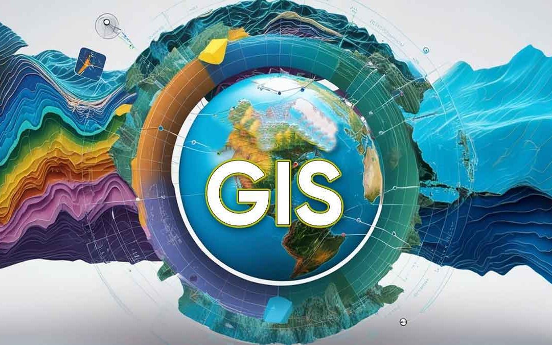
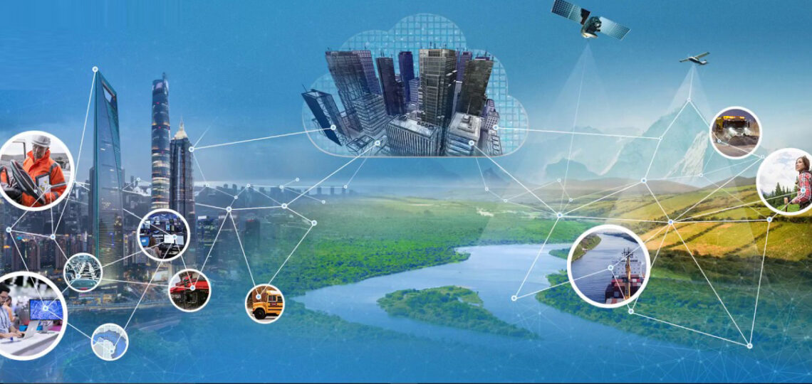
Geographical Information System (GIS) is a modern computer-based technology that helps us collect, store, analyze, and display information related to locations on Earth. In simple words, GIS helps us understand “where things are” and “why they are there.” It is widely used in fields like urban planning, agriculture, disaster management, and environmental protection.
Thank you for reading this post, don't forget to subscribe!What is a Geographical Information System (GIS)?
A Geographical Information System (GIS) is a system that combines hardware, software, and data to work with geographic information. It allows users to:
- Capture location-based data
- Store and manage it
- Analyze patterns and relationships
- Display results in the form of maps
For example, if a government wants to know which areas are prone to floods, GIS can help by analyzing rainfall, rivers, and land height.
Types of GIS Data
GIS mainly uses two types of data:
1. Vector Data
Vector data represents real-world features using shapes like:
- Points (example: schools, hospitals)
- Lines (example: roads, rivers)
- Polygons (example: states, districts, forests)
This type of data is very accurate and useful for mapping specific locations.
2. Raster Data
Raster data represents the Earth as a grid of small cells (pixels). Each pixel has a value, such as:
- Temperature
- Elevation
- Rainfall
- Land cover
It is commonly used in satellite images and weather maps.
Applications of GIS
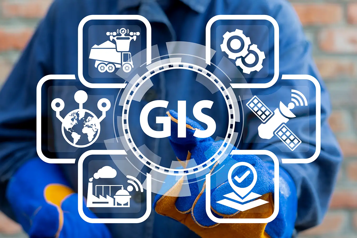
GIS is used in many important sectors. Let’s understand them in simple language:
1. Urban Planning
GIS helps cities grow in a planned and organized way.
- It divides land into areas like residential, commercial, and industrial zones.
- It helps in building roads, transport systems, and drainage systems.
- It studies population data to plan schools, hospitals, and markets.
Example: A city can use GIS to decide where a new road or metro line should be built.
2. Environmental Management
GIS plays an important role in protecting nature.
- It tracks deforestation by comparing satellite images over time.
- It helps find sources of pollution in air, water, and soil.
- It maps wildlife areas and helps protect animals.
Example: Forest departments use GIS to monitor illegal tree cutting.
3. Disaster Management
GIS is very useful during natural disasters like floods, earthquakes, and cyclones.
- It identifies disaster-prone areas.
- It helps in planning evacuation routes.
- It supports rescue teams by showing safe locations and shelters.
Example: During floods, GIS maps help authorities send help quickly to affected areas.
4. Agriculture
GIS helps farmers improve crop production.
- It supports precision farming, where farmers use data to grow crops better.
- It studies soil quality, moisture, and nutrients.
- It tracks pests and diseases in crops.
Example: A farmer can use GIS to know which crop is best for his land.
5. Space Research
GIS is also used in space science.
- It helps in mapping planets like the Moon and Mars.
- It supports space missions by selecting safe landing areas.
- It works with satellite data to study Earth and space.
Example: Scientists use GIS to study surface features of Mars.
Integration of GIS with Modern Technologies
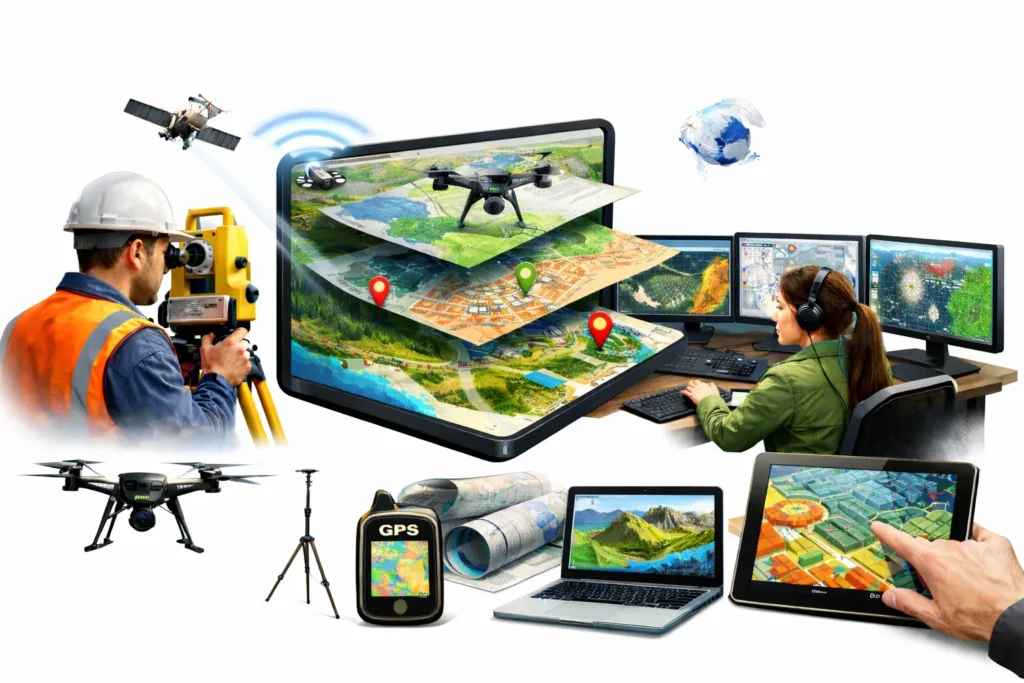
GIS becomes more powerful when combined with new technologies:
1. Artificial Intelligence (AI) and Machine Learning (ML)
- These technologies help predict future changes like climate patterns.
- They automatically identify features in satellite images.
Example: AI can predict how a city will grow in the next 10 years.
2. Internet of Things (IoT)
- IoT devices like sensors and GPS collect real-time data.
- This data is directly used in GIS for analysis.
Example: Sensors can monitor air pollution levels in a city.
3. Big Data
- GIS deals with huge amounts of data.
- Big Data tools help manage and analyze this information quickly.
Example: Government can analyze large population data for planning.
Government Initiatives Related to GIS in India
India is actively promoting GIS through many schemes and policies:
1. National Geospatial Policy (NGP) 2022
- Aims to make India a global leader in geospatial technology.
- Promotes use of GIS in government and private sectors.
2. SVAMITVA Scheme
- Provides property cards to rural people.
- Uses drones and GIS mapping.
- Helps reduce land disputes and improve planning.
3. Bhuvan Portal
- Developed by ISRO.
- Provides satellite images and maps of India.
- Helps in planning and disaster management.
4. Bharat Maps
- Developed by National Informatics Centre (NIC).
- Supports digital governance and mapping services.
5. Survey of India (SOI) Online Maps
- Provides access to topographic maps and geospatial data.
- Useful for both government and public use.
6. Gram Manchitra
- Helps Panchayats in rural planning.
- Provides village-level maps for development work.
7. Geospatial Energy Map of India
- Launched by NITI Aayog and ISRO.
- Shows energy resources and infrastructure.
- Helps in better energy planning.
Challenges in GIS Implementation
Even though GIS is very useful, it faces some problems:
1. Poor Data Quality
- Data may be outdated or incorrect.
- This can lead to wrong decisions.
Example: Old maps may not show new roads or buildings.
2. High Cost
- GIS software and equipment are expensive.
- Satellite images and servers add extra cost.
This makes it difficult for small organizations to use GIS.
3. Lack of Skilled People
- GIS needs trained experts.
- There are not enough professionals in this field.
4. Privacy and Security Issues
- Location data can be misused.
- There is risk of cyberattacks.
Example: Sensitive location data can affect national security.
How to Improve GIS in India?
To make GIS more effective, the following steps can be taken:
1. Better Data Collection
- Use drones, satellites, and sensors for real-time data.
- Update data regularly to maintain accuracy.
2. Use of Open-Source Software
- Software like QGIS can reduce costs.
- It is helpful for students and small organizations.
3. Training and Education
- More training programs should be introduced.
- Universities should offer GIS courses.
4. Investment in Technology
- Government should support startups in GIS.
- Build strong infrastructure for geospatial data.
5. Promote Indigenous Technology
- Develop Indian GIS software and tools.
- Reduce dependence on foreign technologies.
6. Strong Data Protection
- Create strict laws to protect data.
- Ensure cybersecurity in GIS systems.
Final Words
Geographical Information System (GIS) is a powerful tool that helps in better decision-making. It is useful in many fields like city planning, agriculture, environment, and disaster management. With proper policies, skilled people, and modern technology, GIS can play a big role in India’s development. By solving current challenges, India can fully use the power of GIS for a better and smarter future.
FAQs on Geographical Information System (GIS)
1. What is a Geographical Information System (GIS)?
GIS is a computer-based system used to collect, store, analyze, and display location-based data on maps.
2. What are the main types of GIS data?
The two main types are Vector Data (points, lines, polygons) and Raster Data (grid or pixel-based data).
3. Where is GIS used?
GIS is used in urban planning, agriculture, disaster management, environmental protection, and space research.
4. What is the SVAMITVA Scheme?
It is a government scheme that uses GIS and drones to provide property cards and digitize land records in rural areas.
5. What are the challenges of GIS?
Major challenges include high cost, lack of skilled professionals, poor data quality, and privacy concerns.
6. How can GIS be improved in India?
By using modern technology, improving data quality, promoting open-source tools, and providing proper training.